Discover and explore Colorado’s unique trail experiences with the Colorado Trail Explorer. Available for free, COTREX offers the most comprehensive trail map available for the state and is built atop data from over 230 trail managers.
View trails by allowed uses on the map, browse featured routes, download offline maps, record trips and notes in the field, complete challenges to earn badges, and share your experiences with the community. COTREX is your gateway into Colorado’s magnificent outdoors.
■ DISCOVER TRAILS & FEATURED ROUTES
– Browse or search to find trails and Feature Routes that match your activities or interests.
– Change activity type to dynamically filter trails on the map.
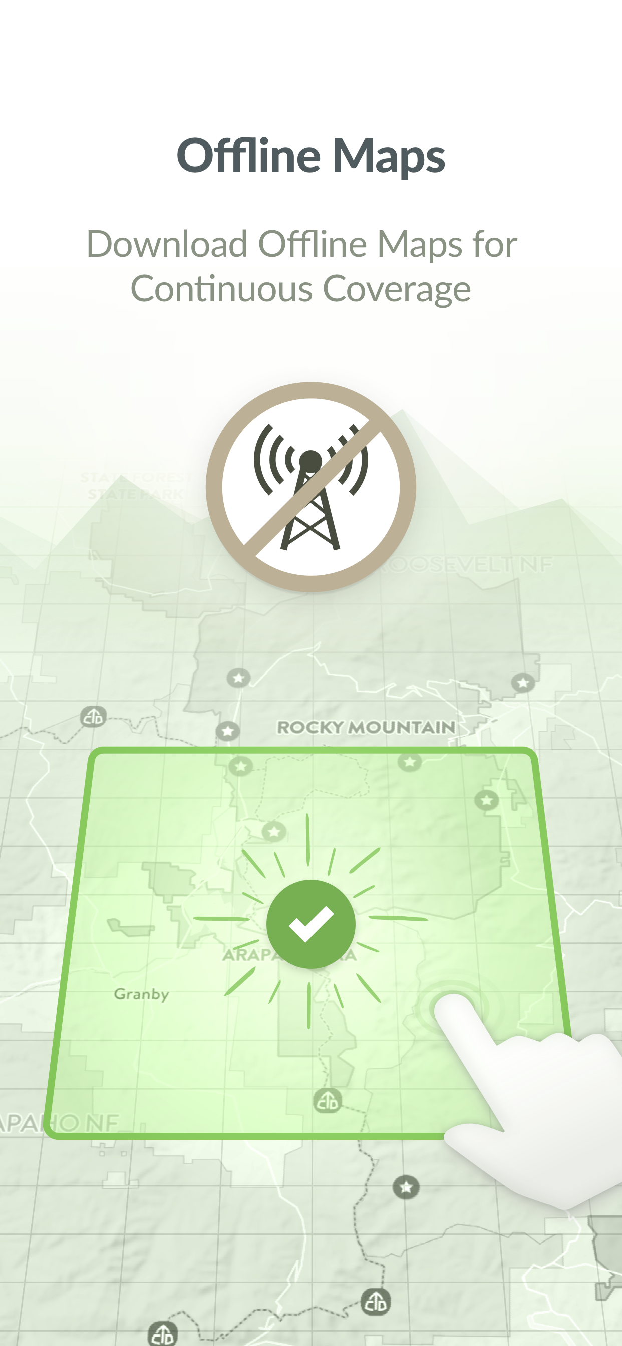
■ OFFLINE MAPS
– No cell coverage? No problem! Download maps ahead of time for a continuous experience that doesn’t depend on your network.
– COTREX offline maps are lightweight in size and easy to download.
■ RECORD TRIPS & FIELD NOTES
– Capture the details of your outdoor experiences by recording Trips.
– Go beyond simple photos by taking and classifying rich Field Notes along the way. Choose from 45,000+ classifications that include trail conditions, species, rocks and minerals, historic places, points of interest, and much more.
– Seamlessly sync activity recorded on your devices with the web.
■ COMPLETE CHALLENGES TO EARN BADGES
– By recording and classifying Field Notes, you can complete Challenges and earn Badges for your profile.
■ SHARE WITH THE COMMUNITY
– Inform and inspire the entire COTREX community by sharing your Trips and Field Notes publicly or submitting Trip Reports.
– View activity feeds for all users or just the ones you follow.
– By sharing your experiences, you also help to inform trail managers about current conditions on the ground.
■ ABOUT COTREX
The Colorado Trail Explorer endeavors to map every trail in the state of Colorado in support of the Colorado the Beautiful Initiative. COTREX connects people, trails, and technology by coordinating the efforts of federal, state, county, and local agencies to create a comprehensive repository of recreational trails for public use.
This project is led by Colorado Parks and Wildlife (CPW) and Department of Natural Resources, but is only made possible through partnerships with organizations at every level statewide. COTREX represents a seamless network of trails managed by over 230 land managers.
■ DISCLAIMERS
[Battery Life] We do everything we can to make the app low power when recording, but GPS is notorious for reducing battery life
Terms: https://trails.colorado.gov/terms
Privacy Policy: https://trails.colorado.gov/privacy
HideПоказать больше...
Скриншоты
Colorado Trail Explorer Частые Вопросы
Приложение Colorado Trail Explorer бесплатное?
Да, Colorado Trail Explorer полностью бесплатное и не содержит встроенных покупок или подписок.
Является ли Colorado Trail Explorer фейковым или мошенническим?
🤔 Качество приложения Colorado Trail Explorer спорное. Некоторые пользователи довольны, в то время как другие сообщают о проблемах. Рекомендуем ознакомиться с отдельными отзывами для получения более полной картины.
Спасибо за ваш голос
Сколько стоит Colorado Trail Explorer?
Приложение Colorado Trail Explorer бесплатное.
Сколько зарабатывает Colorado Trail Explorer?
Чтобы получить оценку дохода приложения Colorado Trail Explorer и другие данные AppStore, вы можете зарегистрироваться на платформе мобильной аналитики AppTail.
I love this app, I use it any time I want to go for a walk, hike, or off road adventure. I lament hiking in any other state because they don’t have an equivalent. It would be improved by having a CarPlay app as well, there are many roads on this app and it would be useful to see the map in my vehicle I swear this used to be a feature, but being able to double tap and slide to zoom the map is such a boon for one handed use. Would be great if this were (re)implemented!
Wildly Inaccurate
This app needs it mapping updated terribly. Hiking trails that have been opened or closed in the last five years have not been updated. Forest service roads from the last twenty years are not updated. Some areas have been sold to private citizens so using this app you will find yourself trespassing or having to turn around without completing a trail. Seasonal closures are also wildly inaccurate. If this is a state ran app then this is why the government needs less control. Some features are awesome like planning your route, elevation change and more accurate distances than AllTrails. Yet the apps shortcomings are aggravating and dangerous to say the least.
Best app by far
I’ve tried them all, this is the clear winner and it’s free. I wish other states would add in this this but thankfully 99 percent of my hiking is in Colorado.
Could the developers add game unit, private land, and previous wild fire layers? That is the only thing this app is missing but even without this, this is the best app I’ve ever used and I’ve paid for most the others. Good work devs!
Please make a Garmin friendly app!
I would really like to use the new Garmin watches for a GPS on OHV and single track trails for a quick glance rather than stopping to pull out a phone. Only way this app could get better in my opinion.
For me, a necessity
I love this app. Lets you make notes about what you encounter, lets you see national forest/park boundaries, record your hikes/drives/etc… I use it all the time and like that the info is “from the horse’s mouth” (from the state itself, not from a 3rd party). Just super well done. I also appreciate the recently added feature of being able to trim your recordings in the event you forget to stop it before you drive back from a hike.
Great app
This is such a good app and better than paid ones like Rever for motorcycle riding, in a perfect world it will soon work with apple carplay
Very useful
This is been a great app. It save me a few times when I was heading the wrong direction of a trail. Haven’t had any problems.
Would love it. If it was, apple watch compatible just got one and this map definitely needs to be on the Apple watch, especially out dirt biking. It would be amazing to be able to just look down at my wrist instead of having to pull out my phone or use the phone mount. Also would be really cool if you could sync up the group of people you’re riding with so you could see each other on the map. I understand that might require everybody to have cell phone service but could potentially be really cool feature specially if somehow you could have an off-line feature but could see where your friends are !
Slick interface, but lacking in up to date info
This app is being promoted as a better solution than crowd-sourced options but it really isn’t. Popular hikes have no information and some shows trails starting from closed/private land trailheads that are likely to get your car towed or at least ticketed. So it is not more accurate than crowd sourced, and it has less information. Only a few “featured hikes” have detailed information and photos. I have not actually found a user trip report yet, so it does not appear that they are getting much help, and they don’t even have all the state parks as featured. So meh.
Love this app
I use it all the time when hiking, makes way finding trails with multiple intersections. Used it a lot when off-roading as well since you can download the map for offline use. Very handy and a must have for any Coloradian. Can’t seem to get my password reset though…
Ok but mileage tracking seems off
App is okay but Trail recording distance seems off. Distance reported by this app is more than reported in AllTrails and the Apple Watch activity tracking which match with each other in comparison.
Получите ценные инсайты о производительности Colorado Trail Explorer с помощью нашей аналитики. Зарегистрируйтесь сейчас, чтобы получить доступ к статистика загрузок и доходов и многому другому.