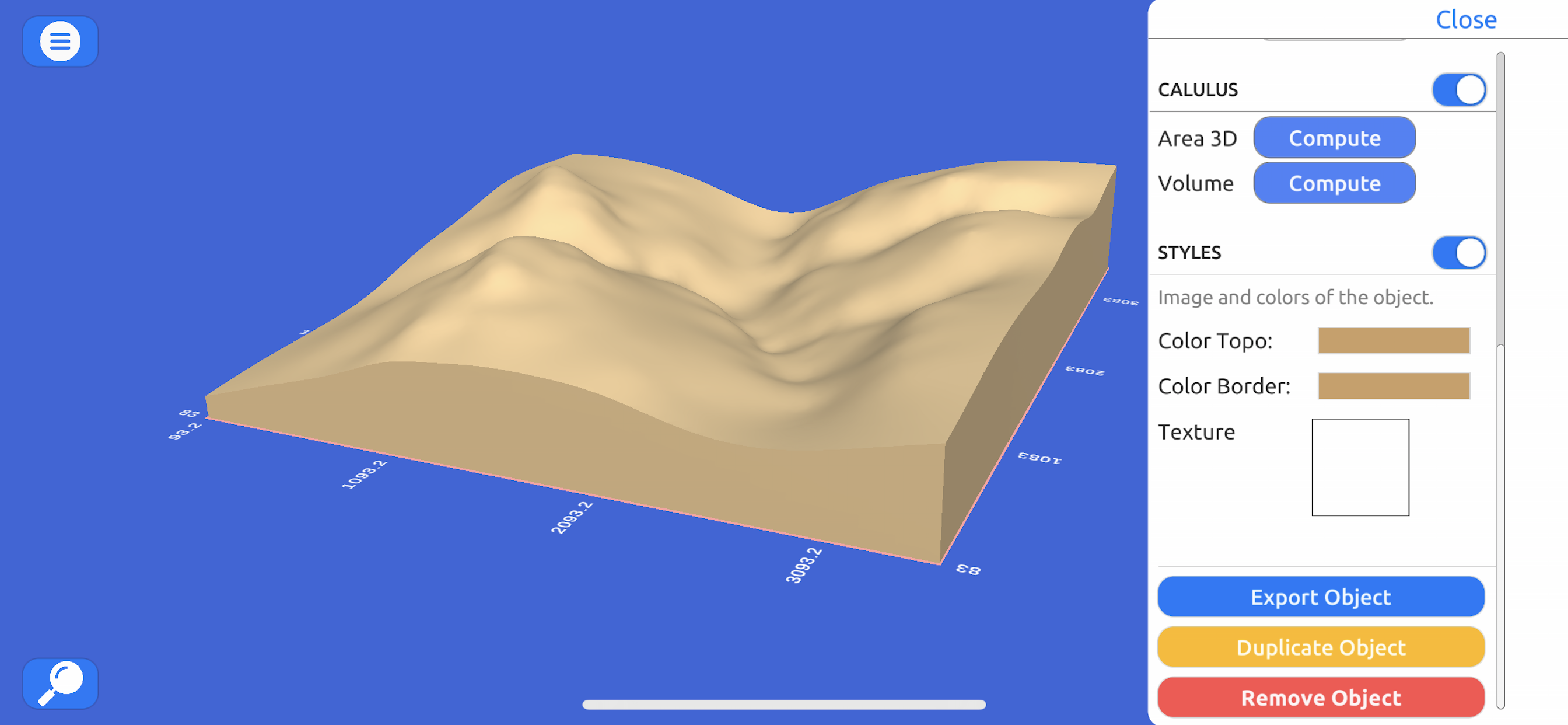
Description
Directamente desde Bing Maps, Mapbox, ArcGIS o desde una nube de puntos local.
Exporta datos reales:
Desde un archivo nube de puntos en formato CSV o TXT hasta modelos en 3D como STL u OBJ e imágenes satelitales.
Opera:
Realiza cortes, re escala y haz animaciones en los modelos para una mayor representación o hacer análisis y cálculos.
Computar operaciones:
Calculo de superficies o volúmenes de un modelo a escala, con variaciones muy pequeñas comparadas a softwares como ArcGIS.
Explora:
Con un control de personaje geoposisionado con coordinadas del mundo real en UTM y el Sistema de Coordenadas Geográficas.
In-Apps
- Licencia Anual
- 379.90 S/
- Licencia Mensual
- 35.90 S/
- Licencia Semanal
- 12.90 S/
Screenshots
3D GIS Digital Elevation Model FAQ
-
Is 3D GIS Digital Elevation Model free?
Yes, 3D GIS Digital Elevation Model is free to download, however it contains in-app purchases or subscription offerings.
-
Is 3D GIS Digital Elevation Model legit?
Not enough reviews to make a reliable assessment. The app needs more user feedback.
Thanks for the vote -
How much does 3D GIS Digital Elevation Model cost?
3D GIS Digital Elevation Model has several in-app purchases/subscriptions, the average in-app price is 142.90 S/.
-
What is 3D GIS Digital Elevation Model revenue?
To get estimated revenue of 3D GIS Digital Elevation Model app and other AppStore insights you can sign up to AppTail Mobile Analytics Platform.

5 out of 5
1 ratings in Peru

3D GIS Digital Elevation Model Reviews
Store Rankings


3D GIS Digital Elevation Model Competitors
| Name | Downloads (30d) | Monthly Revenue | Reviews | Ratings | Recent release | |
|---|---|---|---|---|---|---|
|
Theodolite for Watch
Compass/Inclinometer/GPS/Maps
|
View
|
View
|
0
|
|
1 year ago | |
|
Scenic Map
3D topo maps of the world
|
View
|
View
|
0
|
|
11 months ago | |
|
MineAR: Augmented Reality Map
Upload & view your data in 3D
|
View
|
View
|
0
|
|
2 years ago | |
|
Topo Nomad
USGS Topographical Maps
|
View
|
View
|
0
|
|
2 years ago | |
|
Route3D 3.0
|
View
|
View
|
0
|
|
2 years ago | |
|
Topo Reader
USGS Topographical Maps
|
View
|
View
|
0
|
|
2 years ago | |
|
LiveTopo
Maps for Geology Lovers
|
View
|
View
|
0
|
|
1 year ago | |
|
Survey360
|
View
|
View
|
0
|
|
10 months ago | |
|
Geo Data Collector
Field Data Collection Mapping
|
View
|
View
|
0
|
|
2 years ago | |
|
Theodolite HD
AR Navigation Viewfinder
|
View
|
View
|
0
|
|
1 year ago |
3D GIS Modelo Digital Terreno Installs
Last 30 days3D GIS Modelo Digital Terreno Revenue
Last 30 days3D GIS Digital Elevation Model Revenue and Downloads
Sign up now to access downloads, revenue, and more.
App Info
- Category
- Navigation
- Publisher
- Andres Narvaez
- Languages
- English
- Recent release
- 1.1 (3 years ago )
- Released on
- Jun 15, 2021 (3 years ago )
- Also available in
- Ecuador, United States, Peru, Chile, Malaysia, Philippines, New Zealand, Norway, Netherlands, Nigeria, Poland, Mexico, Lebanon, Kazakhstan, Kuwait, South Korea, Japan, Pakistan, India, Portugal, Russia, Saudi Arabia, Sweden, Singapore, Slovenia, Thailand, Türkiye, Taiwan, Ukraine, Vietnam, South Africa, Dominican Republic, Argentina, Austria, Australia, Azerbaijan, Belgium, Brazil, Belarus, Canada, Switzerland, China, Colombia, Czechia, Germany, Denmark, Italy, Algeria, Egypt, Spain, Finland, France, United Kingdom, Greece, Hong Kong SAR China, Hungary, Indonesia, Ireland, Israel, United Arab Emirates
- Last Updated
- 1 week ago


