ArcGIS Earth is designed for everyone and provides user-friendly 3D experiences.
Data support
ArcGIS Earth allows you to use a variety of items from ArcGIS Online, ArcGIS Enterprise, local data, and web services:
• Browse web scenes, map services, image services, scene services, and feature services.
• Browse local files including mobile scene packages (MSPK), KML, KMZ, tile packages, and scene layer packages (SLPK).
• Support has been added for Living Atlas of the World.
Key features
• Connect to ArcGIS Online or ArcGIS Enterprise.
• Tap to identify features.
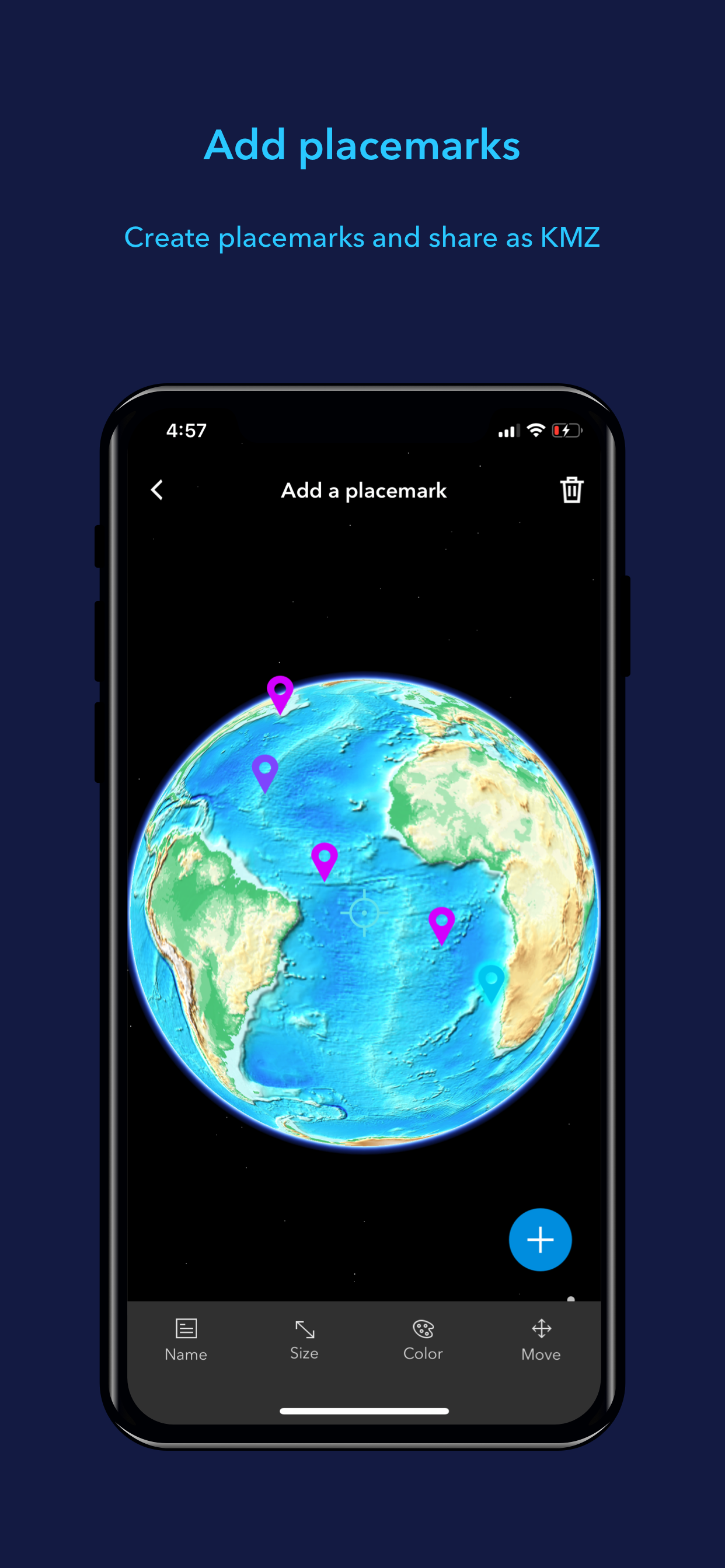
• Support has been added for collecting, editing, and sharing placemarks.
• Interactive analysis tools include Measure, Line of Sight, and Viewshed.
• Create and share tours with geotagged photos.
• Search for places and switch locators.
• Start-up tips and guidance for hand gestures are included.
• Record and preview GPS tracks, and share with your organization.
Hide..Show more..
Screenshots
User Rating
3 out of 5
1 ratings
in Australia
5 star
0
4 star
0
3 star
1
2 star
0
1 star
0
Ratings History
Reviews
Vertical only
It seems a bit strange that ESRI decided to not create a version that works in landscape mode. Maybe that will be in another version? If they do that, it won’t be too difficult to create a native MacOS version too via Catalyst...? Crossing fingers...