GPS & Map Toolbox
Multipurpose GPS database tool
#1 Keyword Rankings
Today
Top 10 Rankings
Today
Top 30 Rankings
Today
Top 100 Rankings
Today

Description

◦ This is the ultimate GPS location database tool designed to save, organize, share, display, import, export, and analyze location records and their properties.
◦ Extensive customization options make this app useful for everyone from salesmen, hikers, farmers, hunters, scientists, land/site surveyors, search & rescue, police, and military.
◦ The features are organized into levels so you only need to buy what you need. The basic features are available in the core app. The other feature levels can be added through an in-app purchase.

▼ BASIC Features (built into the core app) ▼
•Organize location data into Data Sets and basic Groups.
•View and convert between coordinate formats (Degrees Decimal, Degree/Minutes, and Degrees/Minutes/Seconds).
•Custom text and note properties.
•Display a single map overlay for each location.
•Raw GPS data.
•Share data with other devices running this app.
•Send locations to third-party apps for mapping and navigation.
•Extensive in-app help screens explain all features and options.

▼ PROFESSIONAL Features (available through an in-app purchase) ▼
•Group locations into Areas, Track/Paths, and Routes.
-Display groups on the map with customizable lines and fills.
-Perform calculations on groups.
•Additional coordinate formats: UTM (Standard and Extended), USNG, and MGRS.
•Display Secondary coordinate.
•Custom properties such as numbers (with and without units) along with automatic data detection.
•Export data sets to third-party apps.
•Additional map marker style options.
•Export file types: GPX, KML/KMZ, CSV (comma separated values), TXT (tab delimited values).
•Business Search.
•Full-screen map screenshots.

▼ ADVANCED Features (available through an in-app purchase) ▼
•Attach photos to data sets and locations.
•Additional coordinate formats: British National Grid, and Dutch National Grid.
•Location templates allow you to specify custom properties that are automatically created with every new location.
•import file types: GPX, KML/KMZ, CSV (comma separated values), TXT (tab delimited values).
•View location data from multiple data sets simultaneously.
•Multiple map overlays per location with additional types.
•Text based Routing (bearing and direction between points in route).

▼ Extra Data Sources (available through an in-app purchase) ▼
•Use non-Apple data sources (Google and OpenStreetMaps) for map data. This includes map view, elevation, geocoding, business/place search, and street view.
Hide.. Show more..

In-Apps

Add Advanced Features
$19.99
Add Extra Data Sources
$2.49
Add Professional Features
$19.99

Screenshots

User Rating

4.33 out of 5

3 ratings in Canada

5 star
2
4 star
0
3 star
1
2 star
0
1 star
0

Ratings History

Reviews

Still one of the best

wideeyedwanderer on

A powerful, well rounded GPS toolkit. If you need coordinate conversions and other options, the advanced upgrade delivers.

Good app

Winn649 on

Very nice app and all functions work, but having problems with import function, send by email would not work for me, transfer files in what format I don't know, like to move files from windows to ipad would be nice, and to see log way points, from gps data logger.

Outstanding - hard to imagine a function not covered

Kingstonflyer on

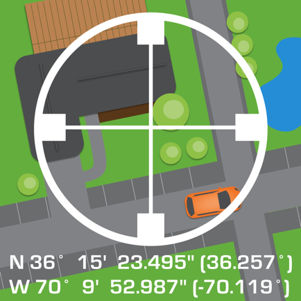
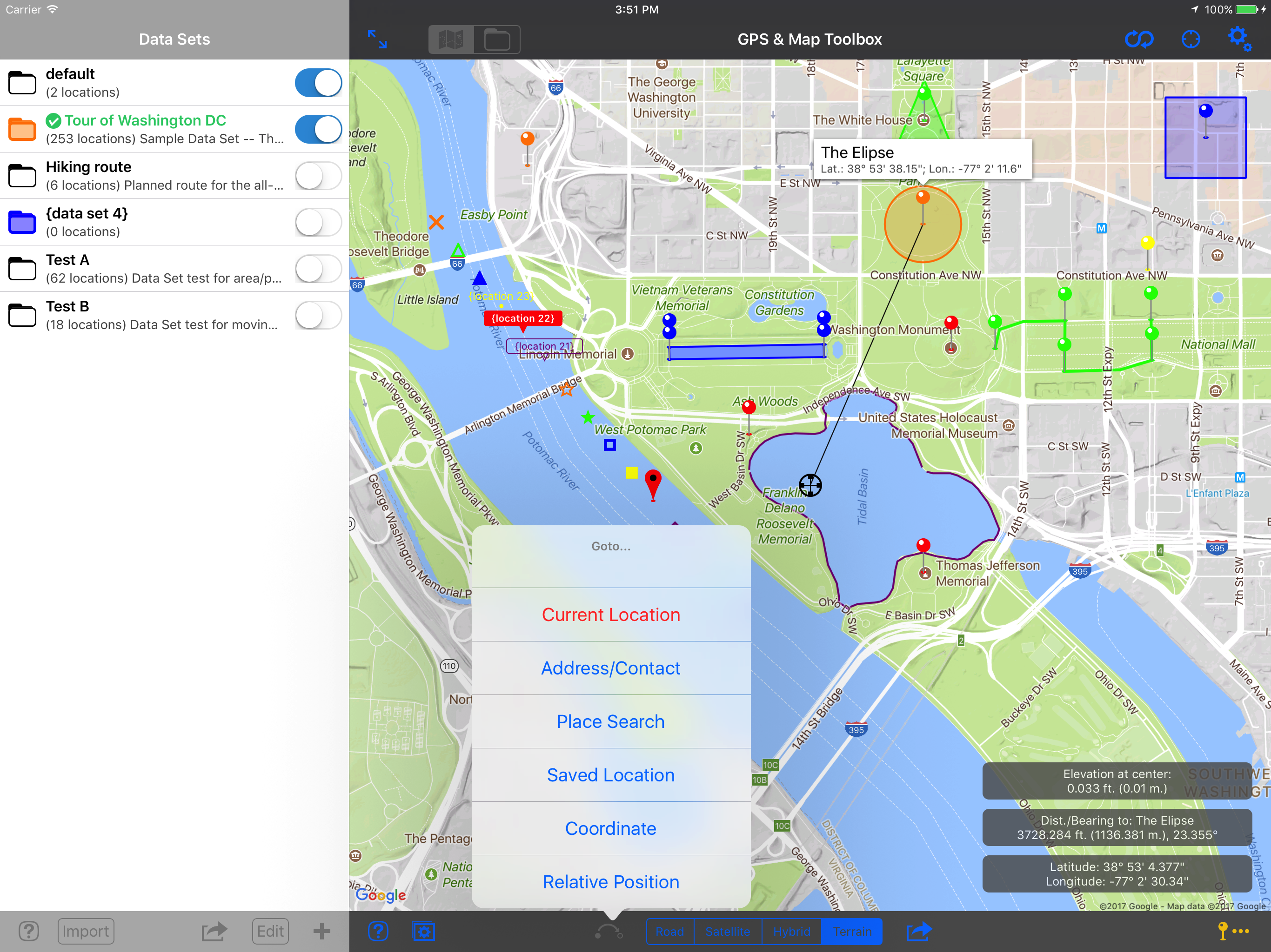
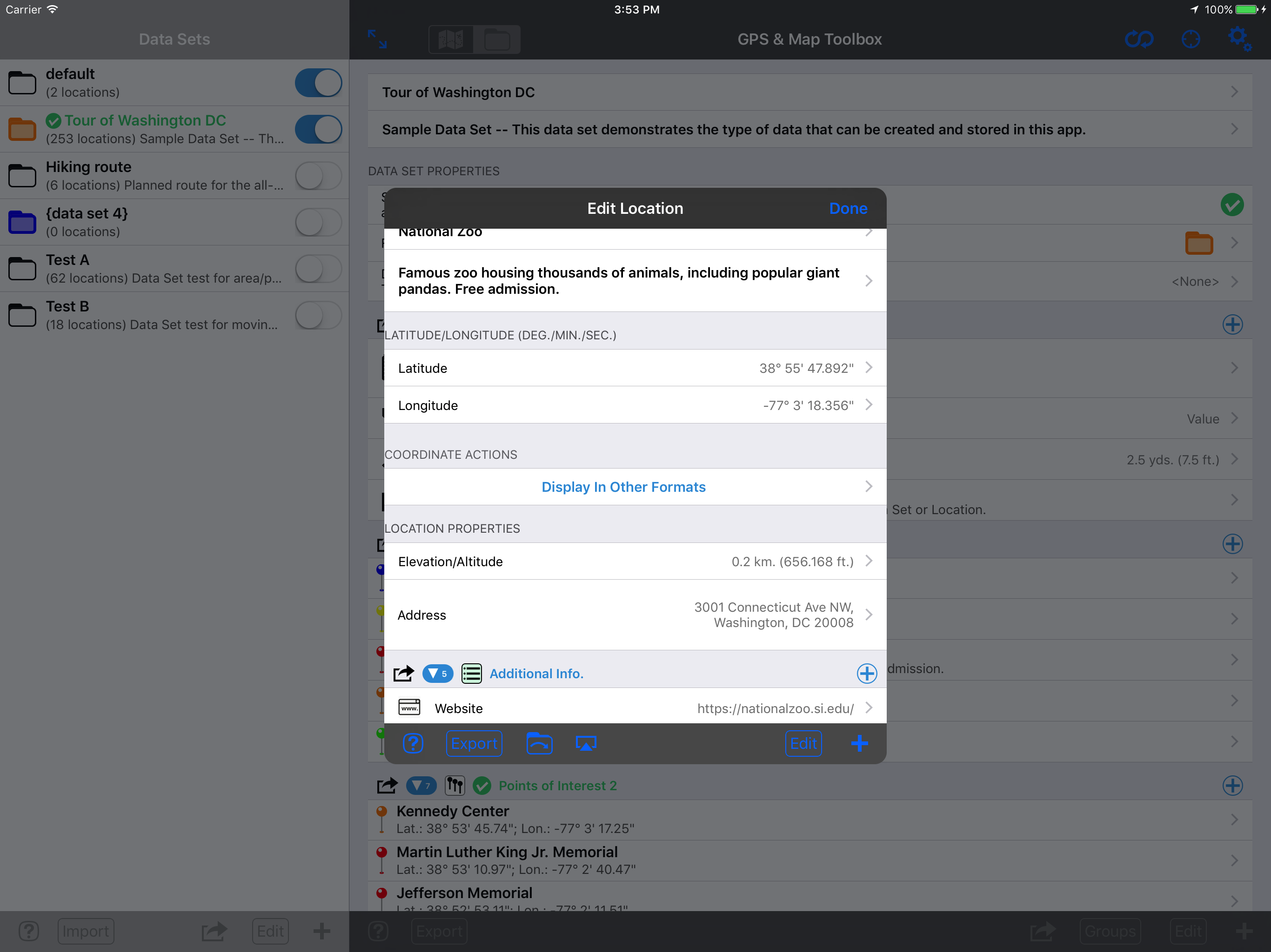
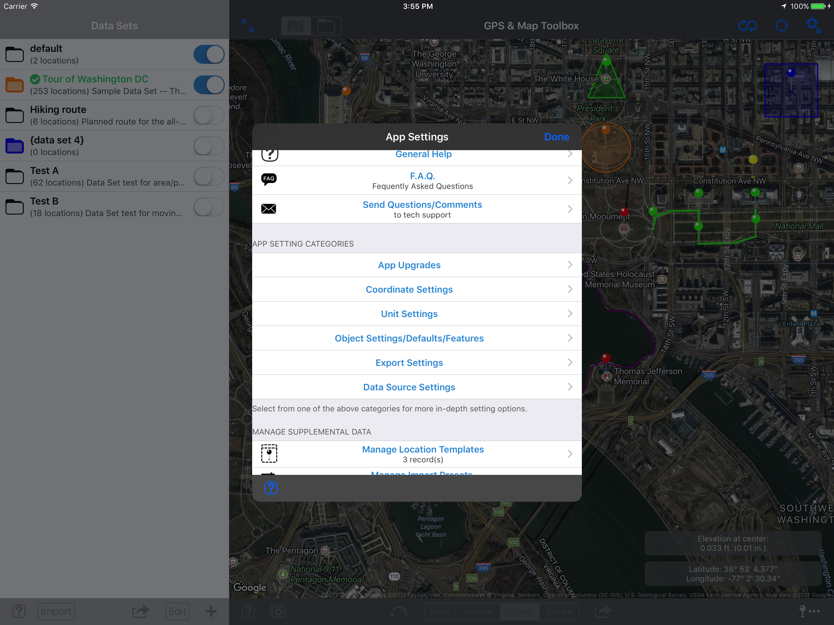
The authors of this app have met the needs of almost every imaginable user of GPS data. The coordinate conversion functional one is amazing, but there's so much more. Data lists, Multiple Map Formats, Export capabilities. Just brilliant. Immensely useful to pilots, sailors, anyone in the military. Highly recommended. It's a joy just to explore all the features.

A great toolbox

Zcel on

This app has a ton of features not found on many iPhone GPS apps. A very good coordinate converter, lots of export format options, intuitive options for creating waypoints (and a built in way to convert coords to the appropriate Google Street address). You can project waypoints with bearing/distance. Includes Google terrain layer as well. There are two main disadvantages: From what I can tell (1) there is no tracking function and (2) there is no way to import common formats (kml, gpx, etc). If it were able to do that it might be the all in one GPS app. I'm hoping they add these functions soon.

Store Rankings

Ranking History

App Ranking History not available yet

Category Rankings

Chart
Category
Rank
Top Paid
3
Top Paid
21
Top Paid
30
Top Paid
31
Top Paid
32

Keywords

Users may also like

Name
Coordinates Calculator Pro
Midpoint, Bearing & Distance
Geocaching Toolkit iGCT Pro
A must have for geocachers
MapPath Pro
GPS Tracker, Map Measure Tool
MyGIS
Your Navigation Companion
Kml Viewer-Kml Converter app
Two in one app
AeroAltitude
Density altitude calculation
Outdoor Photography Magazine
Inspirational Wild Photography
MapTool - GPS, Compass, Altitu
Maryland Roads Traffic
Traffic News & Video Cameras
SailTimer API - WMM™
Show More

Revenue and Downloads

Gain valuable insights into GPS & Map Toolbox performance with our analytics. Sign up now to access downloads, revenue, and more.

App Info

Category
Navigation
Languages
English
Recent version
3.0.2 (6 years ago )
Released on
May 31, 2011 (13 years ago )
Last updated
2 days ago