
Complete Fraud
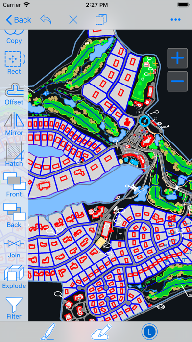
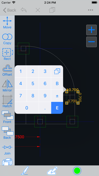
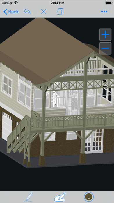
This software does not scan with iPhone LiDAR it is a AutoCAD drawing viewer. I was ripped off for $18


2.71 out of 5
7 ratings in United States
This software does not scan with iPhone LiDAR it is a AutoCAD drawing viewer. I was ripped off for $18
Love this app, use it all time at the underground mine I work at. I was able to scan 300 ft of tunnel and match it with a survey scan. Perfect for scanning cross sections for ventilation stations and measuring distances. I can easily use the data in Maptek Point Studio and Trimble business center. Only complaint is that I can not export my scans as a las file I have to convert the pts file in Trimble in order to use it in Point Studio. So 6 ****** stars if you can add a las as export option.
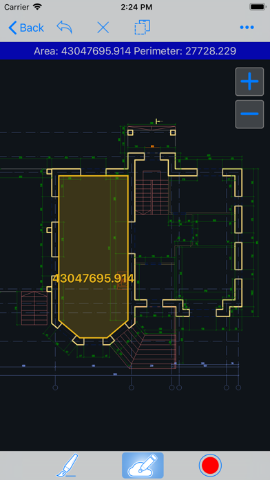
I can now apply field codes to points as I create them. Several survey applications where this level of accuracy is acceptable. Great tool. Thank you for the amazing app!
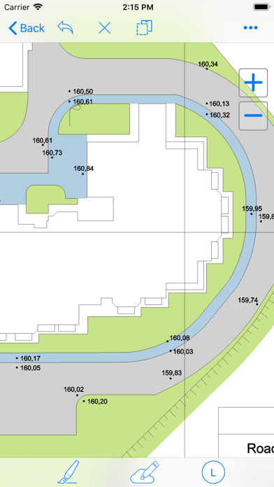
I use this app to view drawings.
Apple Pencil (2nd generation) doesn’t work in the app. I could not draw straight shapes. Appears extremely clunky & disfunctional. Why did I pay $17.99 for this?
|
Chart
|
Category
|
Rank
|
|---|---|---|
|
Top Paid
|

|
204
|
|
Top Paid
|

|
267
|
|
Top Paid
|

|
293
|
|
Top Paid
|

|
296
|
|
Top Paid
|

|
305
|
| Name | Reviews | Recent release | |
|---|---|---|---|

SnapWriter - take quick notes
|
24
|
7 years ago | |

N/A
N/A
|
0
|
1 month ago | |

biiCADo Pro - 2D CAD App
|
20
|
2 years ago | |

ARchi VR - Create & Browse AR
Capture Spaces as 2D, 3D, & AR
|
0
|
5 months ago | |

Lidar 3d Scanner
Fast LiDAR Scanner
|
0
|
2 years ago | |
Fractions Pro
Fraction Calculator Converter
|
8
|
1 year ago | |
Structural Engineering Calc.
58 engineering calculators
|
1
|
8 months ago | |

FingerCAD HD
Draw anything you want!
|
20
|
1 year ago | |

OrthoGraph BLK360
Capture the world around you.
|
9
|
1 year ago | |

vGIS Scan
A LiDAR scanner from vGIS
|
0
|
2 months ago |