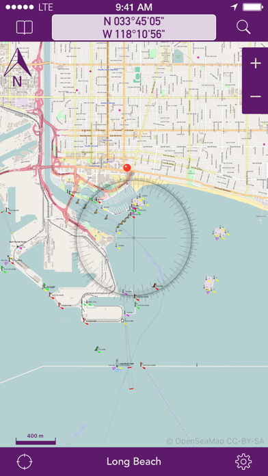
OpenSeaMap
#1 Keyword Rankings
Today
Top 10 Rankings
Today
Top 30 Rankings
Today
Top 100 Rankings
Today

Description

OpenSeaMap is a worldwide Opensource-project for creating a free nautical chart. Founded in 2009 the project gained a lot of attention lately adding more and more nautical information for free. Not even lights and other nautical infos are provided, but also more and more info layers like weather data, information about harbours and so on. As an add on to the OpenStreetMap this provides all missing info for nautical activities. OpenSeaMap is part of OpenStreetMap and uses the same database.


FEATURES:
- Free worldwide sea chart (incl. HD chart graphics)
- Search for geolocations worldwide
- Chartplotting with continuous tracking
- Waypoints can easily be created, edited, deleted & exported
- Mark locations in the chart
- Zoom chart optically to fit your preferred reading size
- Enter coordinates directly to be displayed in the chart
- Offline caching of up to 1 million map tiles
- Cleanup of chart cache data at any time

+++ NEWS +++ NEWS +++ NEWS +++ NEWS +++
OpenSeaMap app now comes with new In-App-Product "PRO"
this product activates professional features if bought.
NEWS +++ NEWS +++ NEWS +++ NEWS +++ NEWS

To ensure future development and support of the OpenSeaMap app we encourage you to buy the In-App-Product "PRO". This will help keeping new updates and features coming.

DISCLAIMER: OpenSeaMap is part of the OpenStreetMap and uses the same database. As an experienced navigator you should NEVER rely your descisions on one source of information alone. Please keep in mind that the OpenSeaMap can not replace official sea charts on bord of your boat. Please use the OpenSeaMap app only in conjunction with official sea charts and conforming to national and international regulations. Please recognize that no depth information is provided by this product.

IMPORTANT: The continued use of the GPS can significantly decrease the battery level.

LICENSE: This app uses icons from the library http://icons8.com/ we thank for providing these under Creative Commons Attribution-NoDerivs 3.0 Unported License.
Hide.. Show more..

In-Apps

OpenSeaMap Professional
$1.99

Screenshots

User Rating

0 out of 5

0 ratings in Algeria

Ratings History

Reviews

App doesn't have any reviews yet

Store Rankings

Ranking History

App Ranking History not available yet

Category Rankings

Chart
Category
Rank
Top Paid
5
Top Paid
6
Top Paid
9
Top Paid
12
Top Paid
18

Keywords

Users may also like

Name
NavShip - Waterway Routing
Your waterway route assistant
NV Charts GPS Navigation AIS
Marine Navigation and Boating
Anchor Alarm / Watch
The anchor watch for your boat
mySea
SeaHelp
Sea assistance service
Harbor finder Croatia&Adriatic
Bays & Berths for the Night
Boatpark
Port-Guide
Der Hafenführer für unterwegs.
Yacht Navigator|Kartenplotter
Plotter für Sportbootkarten
KartenWerft NavGo 2.0
Show More

Revenue and Downloads

Gain valuable insights into OpenSeaMap performance with our analytics. Sign up now to access downloads, revenue, and more.

App Info

Category
Navigation
Languages
German, English, French
Recent version
3.4 (7 years ago )
Released on
Jan 25, 2012 (12 years ago )
Last updated
2 weeks ago