Unbrauchbar
Ich habe eine Alternative zu Navicon gesucht, aber diese App ist unbrauchbar. Eine Frechheit dafür Geld zu verlangen


Yes, OpenSeaMap is free to download, however it contains in-app purchases or subscription offerings.
⚠️ The OpenSeaMap app has poor ratings and negative feedback. Users seem unsatisfied with its performance or features.
OpenSeaMap has several in-app purchases/subscriptions, the average in-app price is €1.99.
To get estimated revenue of OpenSeaMap app and other AppStore insights you can sign up to AppTail Mobile Analytics Platform.

1.11 out of 5
9 ratings in Austria
Ich habe eine Alternative zu Navicon gesucht, aber diese App ist unbrauchbar. Eine Frechheit dafür Geld zu verlangen
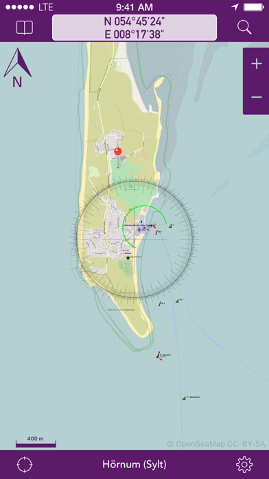
1. Karten können nicht heruntergeladen werden. Man muss in die Karte rein zoomen und das Gebiet laden lassen bzw. Karte abfahren. Genaue Details sieht man natürlich nur wenn komplett hinein gezoomt wird. Da ist man dann Stunden dran um ein größeres Gebiet zu speichern. Alles wird dann theoretisch im Cache gespeichert. Wäre noch halbwegs ok wenn es funktionieren würde. Orte offline suchen nicht möglich. 2. leider bleibt nicht alles im Cache gespeichert. Es sieht so aus als werden Daten im Cache durch neue Speicherungen überschrieben. Auch wenn noch mehr als genügend Speicherplatz vorhanden ist.Somit absolut nutzlos. 3. massive Probleme beim zoomen. Es werden in jeder zoom Stufe große Felder nicht dargestellt. Immer unterschiedliche nach Zoomstufe.Also im offline Modus. Absolute Katastrophe. 4. Tiefenlinien sind nicht in der Karte. War mir vorher schon klar. Sollte als Ergänzung zur navionics sein. Häfen und Küsten sind wunderbar dargestellt im online Modus. Vermutlich aus openstreetmap.
Leider völlig unbrauchbar, scheint eine Demo Version sein. Habe die pro Version um insgesamt 3,5€ gekauft, aber es funktioniert die Hälfte nicht. - Die Suche zb. In Kroatien ringt keine Ergebnisse für sukośan, echt jetzt? - der Text skaliert beim reinkommen so mit, dass er unlesbar wird = Fall Ärgerlich.
Nicht empfehlenswert!
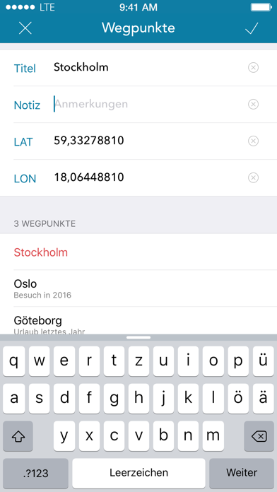
Wenn ich könnte würde ich 0 sterne vergeben. Als ich die gratis version nutzte habe ich gedacht, dass diese version einige Vorteile mit sich bringen könnte. Also ich den vierten wegpunkt speichern wollte sagte mir die app ich muss dafür die pro version kaufen. Einzige verarsche. Außerdem ist die app sowas von unstabil. Crasht andauernd bei der zoom funktion. Verschwendet nicht euer geld mit diesem mist!!! Don’t waste your money on this bad app!!!
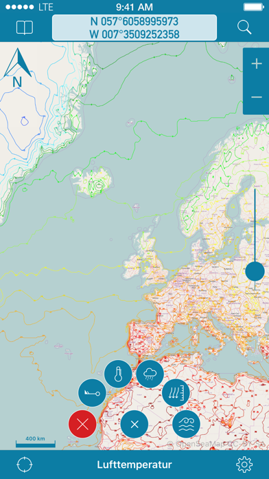
-Die zur Verfügung gestellte Karte verfügt über keinerlei Tiefenlinien womit eine Navigation mit dieser Karte zu einem Glückspiel wird -Die Karte kann auch nicht lokal gespeichert werden so, dass man auf mobile Datennutzung angewiesen ist (im Ausland und auf hoher See, sehr sinnvoll Devs) -versucht man durch zoomen seinen Standort zu finden crashed die app
bought the in-app upgrade, found quite a few bugs, reported these to the developer. have not heard a thing since then. seems like this app is no longer being supported.
Dieses Projekt hat das Spiel nicht verstanden - diese App enthält keinerlei Tiefenangaben. Die Angabe der Wassertiefen ist ein absolutes Muss in einer Seekarte. Um es klar zu sagen, eine solche Seekarte ist gefährlich, weil überhaupt nicht zu erkennen ist, wo ich denn nun mit meinen Schiff entlang fahren kann. Open hin oder her - da muss dick drüber geschrieben werden, bitte nicht zum navigieren nutzen!
Eine nutzlosere App ist nicht vorstellbar. Keine Tiefenangaben. Unglaublich. 🤮
Obwohl die Karten-offline Funktion angepriesen wird, ist es nicht möglich. Seetiefen werden nicht angezeigt, die App-Menüs sind unvollständig... sehr schlecht !
|
Chart
|
Category
|
Rank
|
|---|---|---|
|
Top Free
|

|
382
|
|
Top Free
|

|
413
|
|
Top Free
|
|
439
|
| Name | Downloads (30d) | Monthly Revenue | Reviews | Ratings | Recent release | |
|---|---|---|---|---|---|---|

NavShip - US Waterways
Your waterway route assistant
|
Unlock
|
Unlock
|
1
|
|
2 weeks ago | |

NV Charts GPS Navigation AIS
Marine Navigation and Boating
|
Unlock
|
Unlock
|
1
|
|
6 months ago | |

Anchor Alarm / Watch
The anchor watch for your boat
|
Unlock
|
Unlock
|
3
|
2
|
1 month ago | |

mySea
|
Unlock
|
Unlock
|
14
|
|
4 months ago | |

Boatpark
|
Unlock
|
Unlock
|
1
|
|
1 month ago | |
Port-Guide
Der Hafenführer für unterwegs.
|
Unlock
|
Unlock
|
1
|
|
2 years ago | |

Yacht Navigator|Kartenplotter
Plotter für Sportbootkarten
|
Unlock
|
Unlock
|
3
|
|
1 year ago | |

Open Sea OpenSeaMap Browser
|
Unlock
|
Unlock
|
0
|
|
11 months ago | |

KartenWerft NavGo 2.0
|
Unlock
|
Unlock
|
1
|
|
2 months ago | |

ADAC Skipper
Marina-Suche für Skipper
|
Unlock
|
Unlock
|
0
|
|
2 months ago |
