Just Purchased
Purchased Australian map & fly view premium. Not what I expected ! A waste of my money in MY opinion. Can’t try before you buy, so you cannot use/test until you pay then it’s too late.


Yes, AIS Maps is free to download, however it contains in-app purchases or subscription offerings.
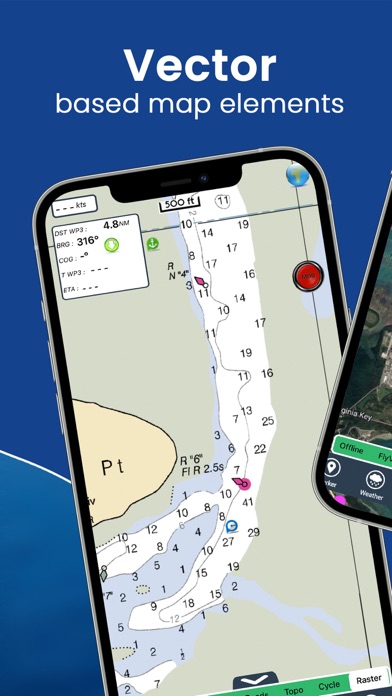
🤔 The AIS Maps app's quality is mixed. Some users are satisfied, while others report issues. Consider reading individual reviews for more context.
AIS Maps has several in-app purchases/subscriptions, the average in-app price is $9.79.
To get estimated revenue of AIS Maps app and other AppStore insights you can sign up to AppTail Mobile Analytics Platform.

3.67 out of 5
12 ratings in Australia
Purchased Australian map & fly view premium. Not what I expected ! A waste of my money in MY opinion. Can’t try before you buy, so you cannot use/test until you pay then it’s too late.
Great ideas, very poorly executed. Seems very dependent on internet connectivity with heavy traffic and long delays (e.g., map loading, AIS DB), no apparent caching of regular content. Offline map an unsatisfying compromise. Very clunky mixing of layered information (e.g., satellite overlay scaling regularly does not match chart scaling making huge errors in narrow waterways). No sharing of personal information (e.g., saved routes) between devices. UI designs are confused (e.g., managing saved routes and markers, inconsistent layouts).
Rubbish at best. $17.99 for Australian map, full of bugs and glitches. Detail is shocking compared to others.
I am sailing weekly, very useful on planning
I use to have there app before they changed, it stopped working. Changed to there new app & it tried to charge me for all the things I use to get on the old app. Also it is just a poor product. Mapping is poor
This apps is terrible don’t waste your money.
It works well, offering all the features I need at a reasonable cost without a subscription. I particularly appreciate the weather forecast feature, which allows me to view forecasts for any location.
You pay then you get advertising for more pay in-app purchases…..Garbage!
Basic phone maps more useful, all functionality requires upgrade to “Pro” version
fishing around the keys, a good alternative free of cost by the way ..I like the weather and AIS info
|
Chart
|
Category
|
Rank
|
|---|---|---|
|
Top Grossing
|

|
51
|
|
Top Grossing
|

|
54
|
|
Top Grossing
|

|
64
|
|
Top Grossing
|

|
64
|
|
Top Grossing
|

|
71
|
| Name | Downloads (30d) | Monthly Revenue | Reviews | Ratings | Recent release | |
|---|---|---|---|---|---|---|

i-Boating: Marine Charts & Gps
Lake Maps & Fishing Spots
|
Unlock
|
Unlock
|
47
|
4
|
5 days ago | |

Atlas Nautical Charts
Marine & Lakes GPS Charts
|
Unlock
|
Unlock
|
0
|
|
1 year ago | |

PRO CHARTS - Marine Navigation
|
Unlock
|
Unlock
|
3
|
|
1 year ago | |

Aqua Map Boating
Marine navigation and fishing
|
Unlock
|
Unlock
|
5
|
2
|
1 week ago | |

NV Charts GPS Navigation AIS
Marine Navigation and Boating
|
Unlock
|
Unlock
|
1
|
|
6 months ago | |

WinGPS Marine
|
Unlock
|
Unlock
|
0
|
|
3 months ago | |

SeaNav
Marine Charts and Navigation
|
Unlock
|
Unlock
|
3
|
|
4 days ago | |

Marine Navigation Lite
Offline GPS tracker for boat
|
Unlock
|
Unlock
|
1
|
|
9 months ago | |

iAIS
|
Unlock
|
Unlock
|
1
|
|
3 years ago | |

OnCourse - boating & sailing
Navigation - mAIS
|
Unlock
|
Unlock
|
2
|
|
1 month ago |

