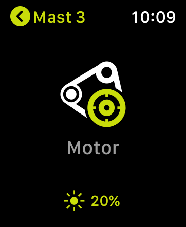
Easy to use
Search option would be nice


Yes, B&G: Companion App for Sailors is free to download, however it contains in-app purchases or subscription offerings.
⚠️ The B&G: Companion App for Sailors app has poor ratings and negative feedback. Users seem unsatisfied with its performance or features.
B&G: Companion App for Sailors has several in-app purchases/subscriptions, the average in-app price is €47.59.
To get estimated revenue of B&G: Companion App for Sailors app and other AppStore insights you can sign up to AppTail Mobile Analytics Platform.

3.82 out of 5
159 ratings in Germany
Search option would be nice
Ich liebe meinen Chartplotter, aber mit der App kann ich überhaupt nichts anfangen. Sie ist nicht gut durchdacht, kann zwar den Plotter spiegeln, aber ist keinerlei Ersatz dafür. Bei der Bedienung kommen ständig Hinweise Auf Sehenswürdigkeiten, die man beim Segeln überhaupt nicht brauchen kann und die das Fenster blockieren. Aus meiner Sicht völlig unbrauchbar.
Die App macht nicht viel falsch. Vor allem ist sie unglaublich leicht zu bedienen.
Nichts Aufklärendes gefunden
In hatte bis vor wenigen Tagen einen B&G Zeus S und dazu die App installiert. Leider hat sich mir der Nutzen der App (für rund 50€) nicht erschlossen. Es gibt die selbe App von C-Map. Kostet auch 50€ und ist genauso nutzlos. Ich hatte erwartet, dass in diese. 50€ ein Update der Elektronischen Seekarten inbegriffen ist. Vielleicht ist es das, jedoch ist es mir nicht gelungen, meine Seekarte zu aktualisieren. Ich rate also von dieser App ab.
Soweit läuft die App, die identisch mit der C-Map und Simrad-App ist, stabil. Es ist schade das als Sprache kein „Deutsch“ ausgewählt werden kann. Also sind zumindest Fremdsprachliche Kenntnisse erforderlich. Deshalb nicht alle Sterne.
Da B&G auf Rezessionen nicht reagiert, brauch ich auch nichts schreiben. Nutzern sind Ihnen egal.
Ich kann zwar versuchen meinen Vulcan 7 zu verbinden, allerdings passiert dies leider nicht und ich kann die Törns nicht vorplanen, muss also auf dem Plotter die Wege planen, was alles andere als nutzerfreundlich gestaltet ist. Ein paar UX/UI Designer und ein gescheites Testmanagement mehr würden nicht schaden.
Maybe it’s just me, but the app won’t synchronize with the Vulcan 7. Could have saved me 50$! Btw, feedback in the app didn’t work and wouldn’t it be helpful if you guys made a video which explains it all? I mean you have a lot of old farts who explain how great everything is with your products, how about an installation video for dummies like me?
Es ist einfach nicht verständlich, dass diese App seit Tagen nicht funktioniert und wie als Kunden müssen dafür auch noch Geld bezahlen. Das ist eine Unverschämtheit. 👎👎👎👎👎👎👎
|
Chart
|
Category
|
Rank
|
|---|---|---|
|
Top Grossing
|

|
60
|
|
Top Grossing
|

|
73
|
|
Top Grossing
|

|
73
|
|
Top Grossing
|

|
76
|
|
Top Grossing
|

|
79
|
