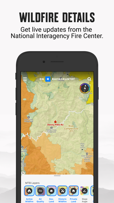
Very useful, hiking and climbing up
I found the features to be very good on this app. The only drawback is that it relies a lot on user feedback, which of course depends on the quality of the user feedback that is getting.


Yes, onX Backcountry Trail Maps GPS is free to download, however it contains in-app purchases or subscription offerings.
🤔 The onX Backcountry Trail Maps GPS app's quality is mixed. Some users are satisfied, while others report issues. Consider reading individual reviews for more context.
onX Backcountry Trail Maps GPS has several in-app purchases/subscriptions, the average in-app price is $76.99.
To get estimated revenue of onX Backcountry Trail Maps GPS app and other AppStore insights you can sign up to AppTail Mobile Analytics Platform.

3.69 out of 5
39 ratings in Canada
I found the features to be very good on this app. The only drawback is that it relies a lot on user feedback, which of course depends on the quality of the user feedback that is getting.
Finally in Canada! Updated! With FatMap gone, hate Strava, grateful we have OnX
The most interactive, featured, and comprehensible maps I’ve found yet. With so many navigation and mapping apps, this is the best yet!
Pretty useless, not even topo data.
Why do all the apps wants yo to subscribe?
Nothing for Canada. Even in the states, if you leave the app open but lock your phone, when opening your phone it goes back to the home screen and makes you find that trail again. No live tracking. I'll stick with guthook thanks.
Why is this even available in Canada. Not one trail is available it’s a complete waste of time. And only 7 days free then you have to pay. It’s junk
Seems like a great app since its design and usability is very simple. However, there aren’t any Canadian trails available on this app, so don’t install it if you are expecting that you’ll get local trails in Canada. This app shouldn’t even be on the Canadian AppStore but for some reason it is? Still, great potential but lacks practicality in Canada and in some parts of the USA too.
No idea why this app is even available in Canadian app store. Not a single trail. No topo maps. Oh and temp on main map is always in F even after changing settings to metric.
It’s hard to know if the app would be useful. There is nothing local. Only list trails 200 miles away.
|
Chart
|
Category
|
Rank
|
|---|---|---|
|
Top Grossing
|
|
17
|
|
Top Grossing
|

|
17
|
|
Top Free
|
|
33
|
|
Top Free
|
|
105
|
|
Top Free
|

|
356
|
| Name | Downloads (30d) | Monthly Revenue | Reviews | Ratings | Recent release | |
|---|---|---|---|---|---|---|
|
FarOut Guides
GPS Maps: Hiking Biking Paddle
|
Unlock
|
Unlock
|
10
|
3
|
4 days ago | |

Trailforks: Offline Bike Maps
Routes for MTB, Biking, Hiking
|
Unlock
|
Unlock
|
310
|
16
|
2 weeks ago | |

National Park Trail Guide
National parks guide and maps
|
Unlock
|
Unlock
|
3
|
|
1 week ago | |

Hiking Maps - PeakVisor
Peak Finder 3D / AR
|
Unlock
|
Unlock
|
19
|
6
|
2 days ago | |

Gaia GPS: Mobile Trail Maps
Hiking, Overlanding, Camping
|
Unlock
|
Unlock
|
171
|
13
|
1 week ago | |

Garmin Explore™
Explore with a Garmin device
|
Unlock
|
Unlock
|
52
|
4
|
1 week ago | |

TroutRoutes: Fly Fishing Maps
Find Access & Public Water
|
Unlock
|
Unlock
|
6
|
|
1 month ago | |

CalTopo: Backcountry Mapping
Topo Maps, Offline Maps & More
|
Unlock
|
Unlock
|
5
|
13
|
1 month ago | |

Earthmate
Text and Navigate with inReach
|
Unlock
|
Unlock
|
34
|
|
2 weeks ago | |

Garmin Messenger™
|
Unlock
|
Unlock
|
16
|
18
|
2 days ago |
