Download and view topographic maps covering Canada.
Topographic maps are useful for recreational activities such as hiking, canoeing, camping, fishing, mountain biking, geocaching, and exploring.
MAPS
Choose from 3 map sources: Canada Base Map (shaded/unshaded), and Toporama.
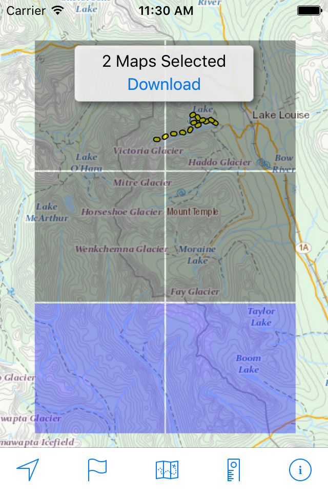
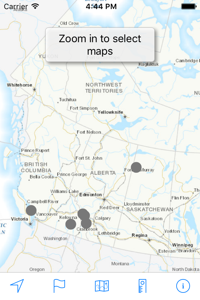
OFFLINE
Download maps for areas of interest to view them later when you don't have Internet access or you don't want to use cell data.
TRACKING
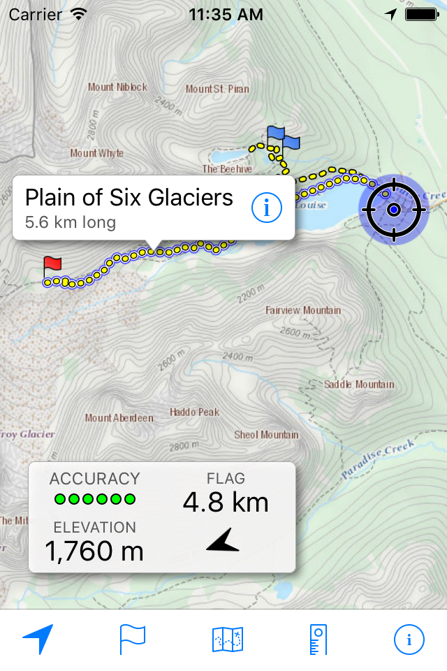
Use location tracking to show where you are on the map, your elevation, and the accuracy of the GPS signal.
FLAGS
Flags are included with map downloads. Add flags (waypoints) to the map to mark your current location or other locations. Import flags from other sources using GPX files and geocache LOC files. Share flags with others using email or AirDrop. Organize your flag types by color, for example, geocaches, trailheads, and summits.
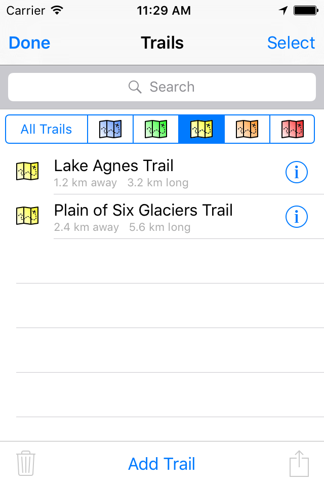
TRAILS
Trails are included with map downloads. Import trails (tracks) using GPX files you find on the Internet or from your personal GPS track collection. Share trails with others using email or AirDrop. Organize your trail types by color, for example, mountain bike trails, hiking trails, and OHV trails.
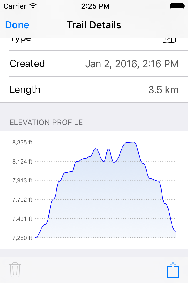
TRAIL RECORDING
Record your own trails to show where you've been on the map, follow them later, and share with others.
ELEVATION PROFILE
Recorded trails include an elevation profile (distance/elevation chart).
NAVIGATION
Navigate to a flag by following the direction arrow that uses your compass heading. Useful for geocaching.
MEASURE
Measure the distance between points on the map.
Note: Continued use of GPS running in the background can dramatically decrease battery life.
Hide..Show more..
Screenshots
User Rating
4.46 out of 5
390 ratings
in Canada
5 star
293
4 star
42
3 star
23
2 star
6
1 star
26
Ratings History
Reviews
Great App
I love this app! It works very well, it’s simple and easy to use. It doesn’t have a bunch of useless features that only make it more confusing to use.
PLEASE PLEASE PLEASE include MGRS into the location format and you’ll get 5 stars from me.
Really Good
Thank you David Crawshay for doing this and not collecting user data. Very rare these days.
A lot of little stuff needs to be fixed.
The flags no longer work properly.
There now invisible and don’t place properly. It needs to be updated again.
Super application
J’aimerais une version en français !
The BEST FREE!
No doubts, this is the best free app for topographic maps!
I salute David for sharing his work for free. Never get lost in the woods with this offline app! A great service for the community!
Denis Lalonde
Québec, Canada
18 Feb 2024 Review Issues to Download
I am extremely happy with this app especially that the map downloads were fixed with latest version. I use this app when I venture OffRoad. I highly recommend this app. Thank you again for fixing the downloads.
Just works!
No distractions, rock solid, never lets you down.
Excellent at what it does
I use this to map my walkabouts, n export the trail to other programs to edit. I have used it for snowmobiling too. For the price it well worth it.
Useful but…
Why is it that when zooming in, the icons for the flags end up getting huge?
Reliable tool
Our search and rescue group has used this for recording tracks during searches for many years. We have 2 primary needs.
* Bullet proof reliability. (We have never encountered a loss of data incident.)
*Simple to use.
This app excels for us in meeting both these needs.