Download and view topographic maps covering Canada.
Topographic maps are useful for recreational activities such as hiking, canoeing, camping, fishing, mountain biking, geocaching, and exploring.
MAPS
Choose from 3 map sources: Canada Base Map (shaded/unshaded), and Toporama.
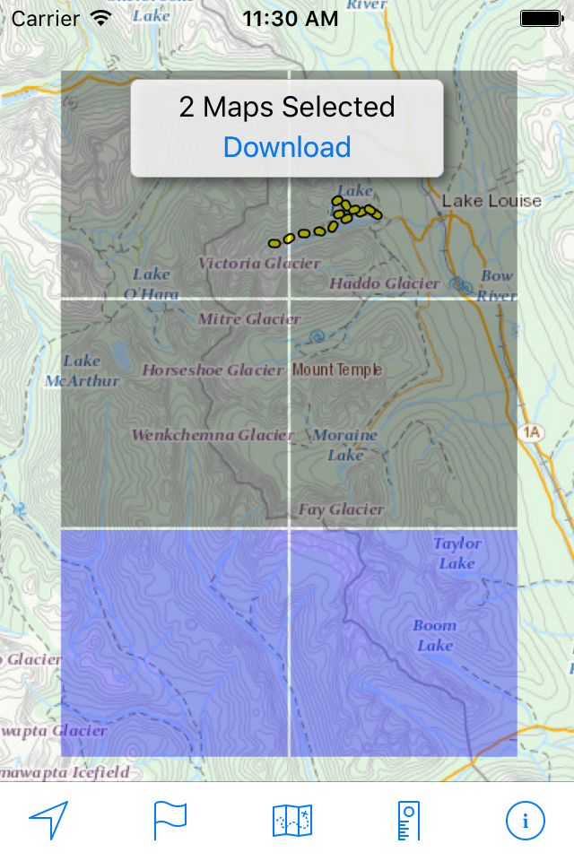
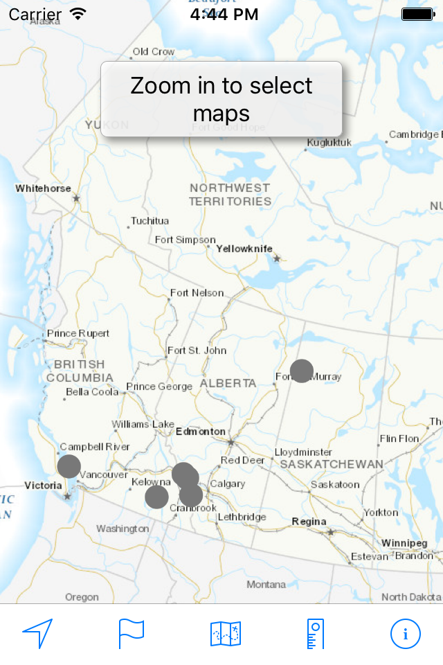
OFFLINE
Download maps for areas of interest to view them later when you don't have Internet access or you don't want to use cell data.
TRACKING
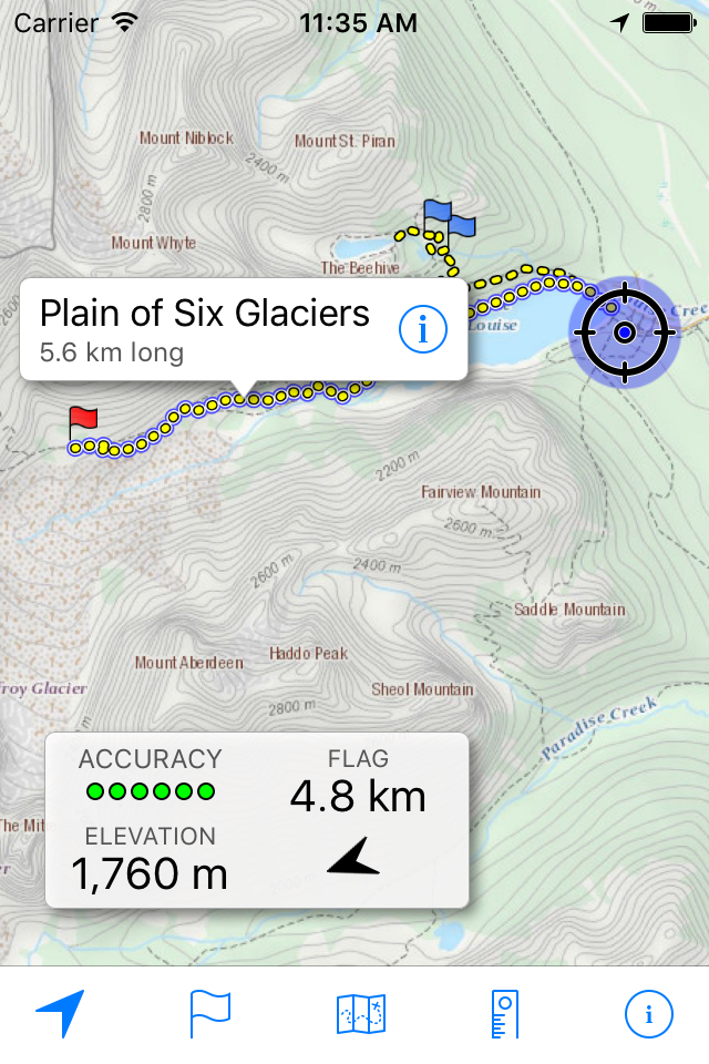
Use location tracking to show where you are on the map, your elevation, and the accuracy of the GPS signal.
FLAGS
Flags are included with map downloads. Add flags (waypoints) to the map to mark your current location or other locations. Import flags from other sources using GPX files and geocache LOC files. Share flags with others using email or AirDrop. Organize your flag types by color, for example, geocaches, trailheads, and summits.
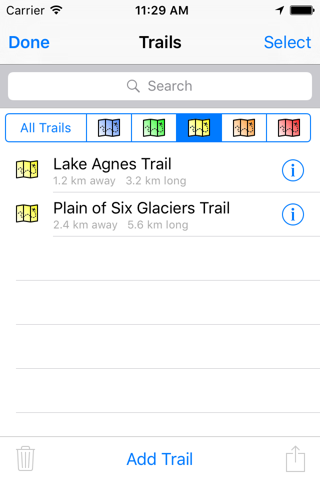
TRAILS
Trails are included with map downloads. Import trails (tracks) using GPX files you find on the Internet or from your personal GPS track collection. Share trails with others using email or AirDrop. Organize your trail types by color, for example, mountain bike trails, hiking trails, and OHV trails.
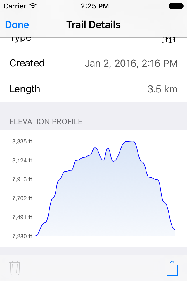
TRAIL RECORDING
Record your own trails to show where you've been on the map, follow them later, and share with others.
ELEVATION PROFILE
Recorded trails include an elevation profile (distance/elevation chart).
NAVIGATION
Navigate to a flag by following the direction arrow that uses your compass heading. Useful for geocaching.
MEASURE
Measure the distance between points on the map.
Note: Continued use of GPS running in the background can dramatically decrease battery life.
Hide..Show more..
Screenshots
User Rating
3.8 out of 5
10 ratings
in United States
5 star
6
4 star
1
3 star
0
2 star
1
1 star
2
Ratings History
Reviews
Great free app
This is ridiculously useful for any hiking in Canada. You can download sections of interest, which are populated with many trails. You can also load in your own GPX routes, which can be downloaded from many websites. You can drag your finger along a trail to estimate distances. Best of all, there’s no annoying upsell to “pro” features like other apps, this one just works and provides all the functionality you need, including recording your own routes. I recommend this app before trying all the slicker apps with upsell. Makes it easy to appreciate what this one does.
Would be nice if….
Would be nice if the developer bothered to reply to questions about the app. I needed to know if there was a way to add UTM grid to the maps for navigation purposes. But: no reply over three weeks time.
Awesome!
Excellent app! Keeps adding valuable features like track recording, etc. Works even without cell service. Pretty soon I won’t need my $700 Garmin GPS. Only thing now is to be able to download 1:10,000 maps for Northern Ontario.
Junk
Unfortunately, downloaded Maps can't be shown on your device. When attempting to connect to a WebDAV server I'm told that that server does not exist.
The whole thing appears to be useless.
Absolutely no response from developer.
Map review
I just down loaded the program and it took a few minutes to find the lake system I was interested in studying. The software restricts the detail that one needs to plan any meaningful trip or use, as I see it. Not worth the memory space it takes up.
The best! Fishing and hiking.
I've used this app for wilderness backpacking and on numerous fly-in fishing trips. It is the best topo mapping app I have ever used. The ability to trace the route through a circuitous boat ride and have the resulting distance is great for planning your day of fishing on large complicated lakes (and not getting lost).
Great App
Very nicely done. Does what you need, free maps. Wish this was available for the U.S. too.
The best is even better
I have been very happily using this app for a couple of years on the iPad and iPhone. The latest update that provides native scaling on the iPad is great. I live in Parry Sound and have all of the area maps downloaded for quick reference when not on WiFi or I don't want to turn on data.
Really quite excellent.
Useful
Very useful for fishing in Canada. Thank you David
Love it
Great app for navigation roads ad everything you need for a map