i-Boating: Mariene kaarten

오프라인 플레이어, MP3 노래

Published by: Bist

Description

Deze applicatie biedt offline zeekaarten, meer & rivier navigatiekaarten voor vissen, kajakken, varen en zeilen. Dekking omvat marine vectorkaarten, zoetwatermeerkaarten en binnenland rivierkaarten (HD/1ft/3ft bathymetrie opgenomen indien beschikbaar). Eerste marine GPS app die route hulp met gesproken berichten voor de zeevaart heeft. U kunt nieuwe vaarroutes maken of bestaande GPX/KML routes importeren. Het ondersteunt Nautical Charts up oriëntatie. Inclusief getijde & stromingen voorspelling.
►FEATURES
√ Mooie en gedetailleerde Hardware/GPU versnelde vectorkaarten (tekst blijft rechtop bij rotatie)
√ Vraag details van Marine object ( Boei, Lichten, Obstakel etc).
√ Aanpasbare diepte (Ft/Fathom/meter) en afstand eenheden (km/mi/NM)
√ Aanpasbare Ondiepe.
√ Opnemen van routes, autofollow met real-time baan overlay & voorspelde pad vector.
√ Gesproken aanwijzingen voor maritieme navigatie (GPS )
√ 1ft/3ft diepte contour kaarten voor vissers voor geselecteerde meerkaarten.
√ Ondersteunt GPX/KML om de vaarroutes te bewerken/importeren.
√ Getijde & Stromingen voorspelling
√ Naadloze grafiek quilten. Kaartgegevens van Kust, Benaderingen, Haven, Inland Encs (rivieren), en algemene ENC kaarten worden automatisch toegewezen om zoomlevel te corrigeren
√ invoeren of importeren van Waypoints.
► KAARTEN
Krijg alle informatie die u vind in uw kaartplotters!. Inclusief onbeperkte updates voor 1 jaar.
Nederland: Grafieken onder NLHO ENC en Inland River ENC.
USA
Canada
UK/Ireland
Australia
Germany
Europe Inland Rivers:Donau/Dunaja,Rhine,Garonne,Moselle,Drava,Sava,etc
Norway
Finland
Sweden
Croatia
Ukraine(Black Sea)
Caribbean
New Zealand
Spain
Brazil
Argentina
Cyprus
Falklands
Seychelles & Mauritius
Denmark
Malta,Cyprus & S. Mediterranean
S. China & Malaysia
South Africa
►ROUTE MANAGEMENT / TRIP PLANNING
√ Maak nieuwe Route/bewerk Routes
√ Draai Routes om
√ Betreden, verplaatsen,toevoegen,verwijderen,hernoemen van Waypoints
√ Importeer GPX, KML en KMZ-bestanden
√ Maak/bewerken Routes
√ Deel/Exporteer routes, Tracks en Markers
►GPS FUNCTIES
√ Automatisch Volgen
* Real Time Track Overlay
* Voorspelde Path Vector
* Course Up (Text blijft rechtop)
* Snelheid en Richting
√ Route Bijstand met gesproken berichten
* Vraagt ​​bij het naderen van een vaarroute marker
* Voortdurende afstand en ETA updates
* Alerts waneer u van de route af zeilt/vaart
* Alerts bij varen in verkeerde richting
√ Opname van Tracks
►GETIJDE & STROMINGEN
* Voor de VS, Canada, Groot-Brittannië, Duitsland en Nieuw-Zeeland
* Hoog/Laag Getijden
* Getijstroom Voorspelling
* Actieve Getijde Stations
► DELEN
* Deel tracks/routes/markers op Facebook en Twitter
* Exporteer tracks/routes/markers als gecomprimeerde GPX -bestanden.
Probeer
IJsselmeer
Markermeer
Den Helder
Zeegat van Texel
Noordzeekust
Nieuwpoort
Oostende
Panne-Oostend
Blankenberge
Zeebrugge
Oostende-Westkap
Breskens
Vlissingen
Neeltje Jans
Stellendam
Schouwen-Ho
Scheveningen
Hoek van Holland
IJmuiden
Noordwijk
IJmuiden
Zeeuwse
Breskens
Vlissingen
Cadzand-Borssele
Hansweert
Terneuzen
Borssele-kruini
Walsoorden
Bath-Lillo
Doel-Antwerpen
Terneuzen
Walcheren-Vlissingen
Bergen
Tholen
Zoommeer.Thol
Colijnsplaat
Zierikzee
Burghsluis
Oosterschelde.
Zeeuwse
Veere
Oranjeplaat
Omloop
Kamperland
Oostwatering
Veerse Meer Westelijk gedeelte
Kortgene
Wolphaartsdijk
Zandkreeksluis
Zuid Beveland. Wemeldi
Goessche
Stavenisse
Zeelandbrug
Bruinisse
Annaland
Yerseke
Oosterschelde. Yerseke
Ouddorp
Scharendijke
Brouwershaven
Westelijke Zijde
Bruinisse
Battenoord
Herkingen
Zeeuwse en Zuid
Bergen op Zoom
Tholen
Schelde-Rijnverbinding.
Galathese Haven
Benedensas
Dintelsas
Ooltgensplaat
Oude Tonge
Volkerak.
Goudswaard
Nieuw Beijerland
Zuidland
Spui.
Middelharnis
Hellevoetsluis
Middelharnis
Haringvliet.
Bommel
Hitsertse Kade
Nieuwendijk
Haringvliet
Willemstad
Noordschans
Moerdijk
Strijensas
Dordtse Kil.
Moerdijk
Strijensas
Dordtsche
Brielse Meer.
Brielsebrug Brie
Zeeuwse
Nieuwe waterweg.
Hoek van Holland
Maassluis
Nieuwe Waterweg.
Rotterdam
Hide Show More...

In-Apps

Netherlands - GPS Nautical Charts
€29.99
Netherlands - Marine Charts
€34.99
Netherlands : Marine Charts
€34.99
Europe Inland Rivers-Waterways
€22.99
Netherlands - Boating & Fishing Maps
€34.99

Screenshots

I-Boating FAQ

  • Is I-Boating free?

    Yes, I-Boating is free to download, however it contains in-app purchases or subscription offerings.

  • Is I-Boating legit?

    🤔 The I-Boating app's quality is mixed. Some users are satisfied, while others report issues. Consider reading individual reviews for more context.

    Thanks for the vote

  • How much does I-Boating cost?

    I-Boating has several in-app purchases/subscriptions, the average in-app price is €31.59.

  • What is I-Boating revenue?

    To get estimated revenue of I-Boating app and other AppStore insights you can sign up to AppTail Mobile Analytics Platform.

User Rating

4.39 out of 5

74 ratings in Netherlands

5 star
44
4 star
20
3 star
7
2 star
1
1 star
2
Ratings History

I-Boating Reviews

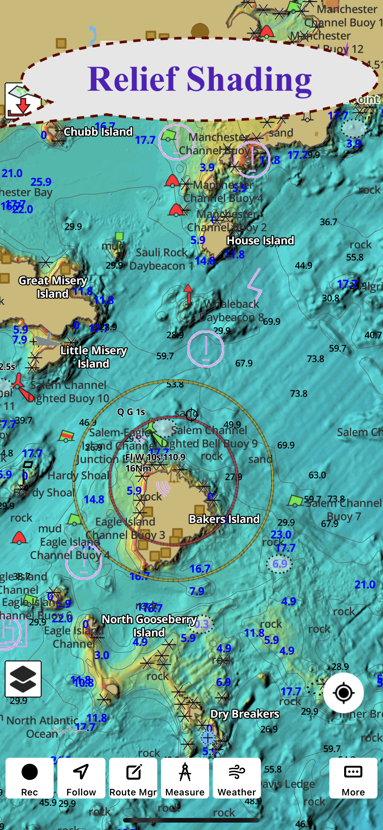
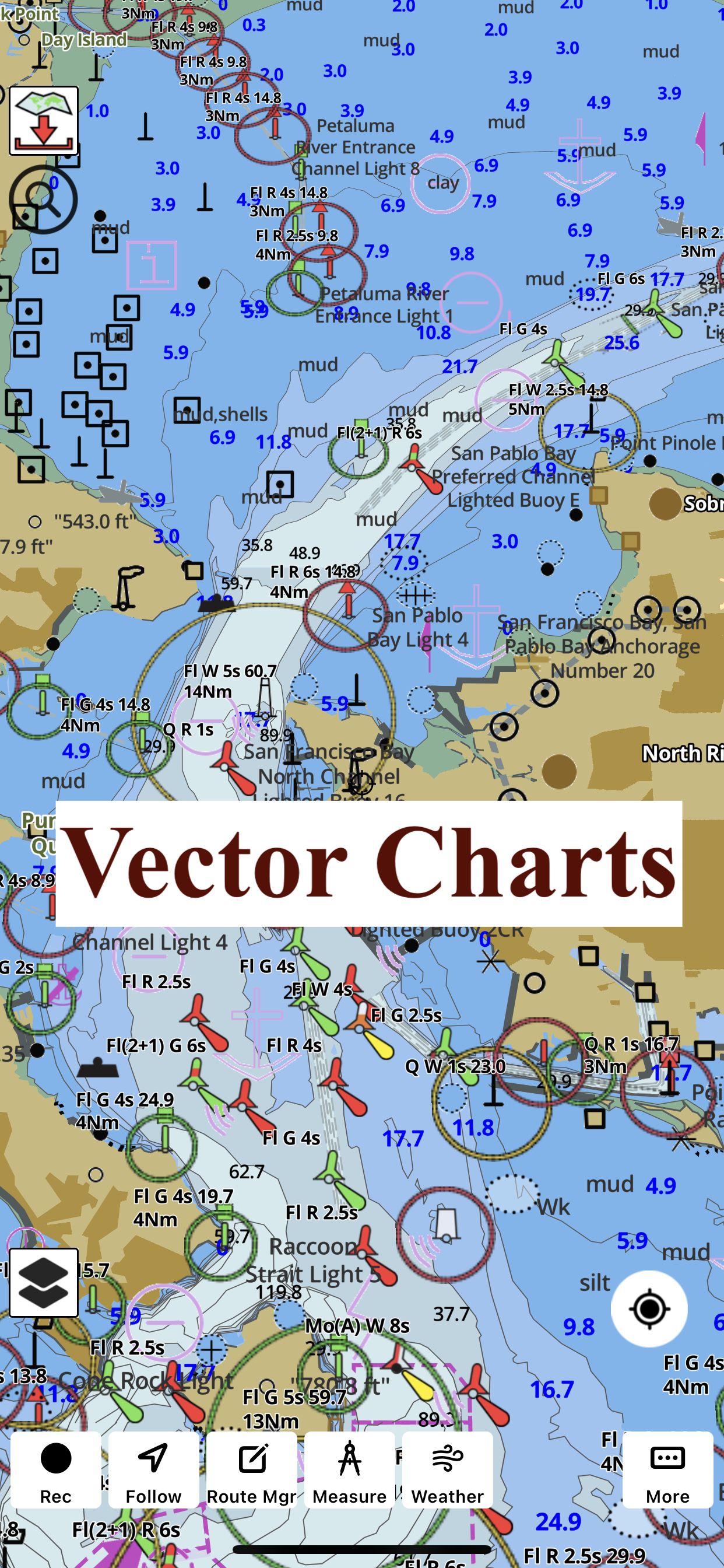
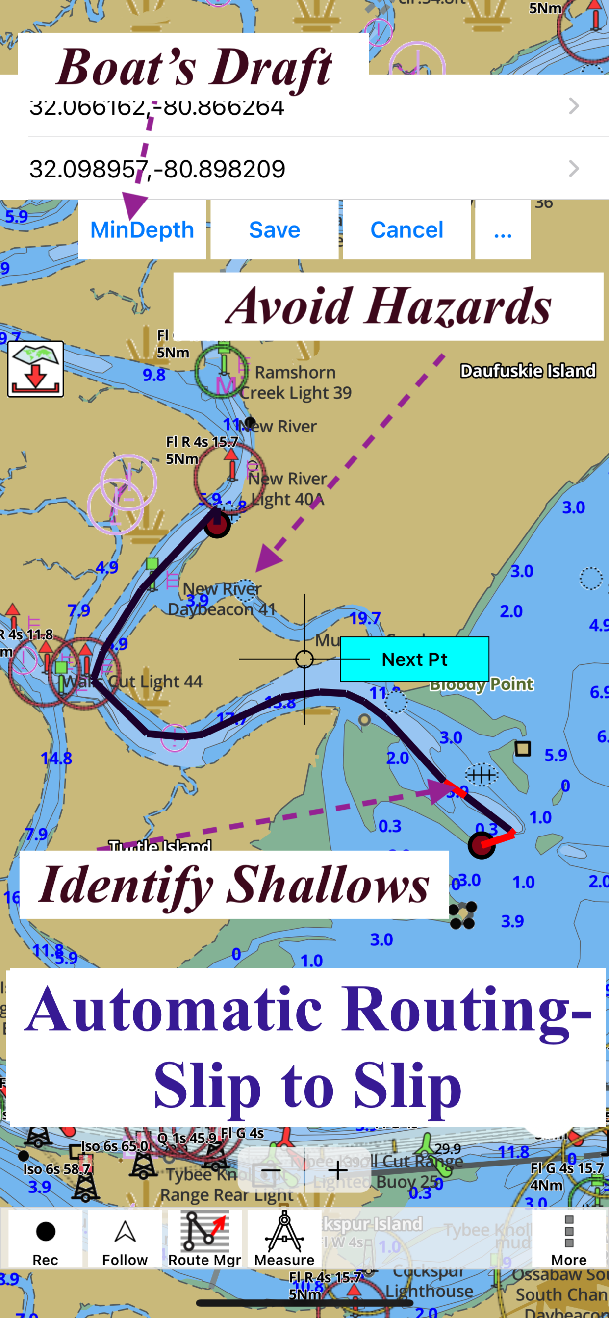
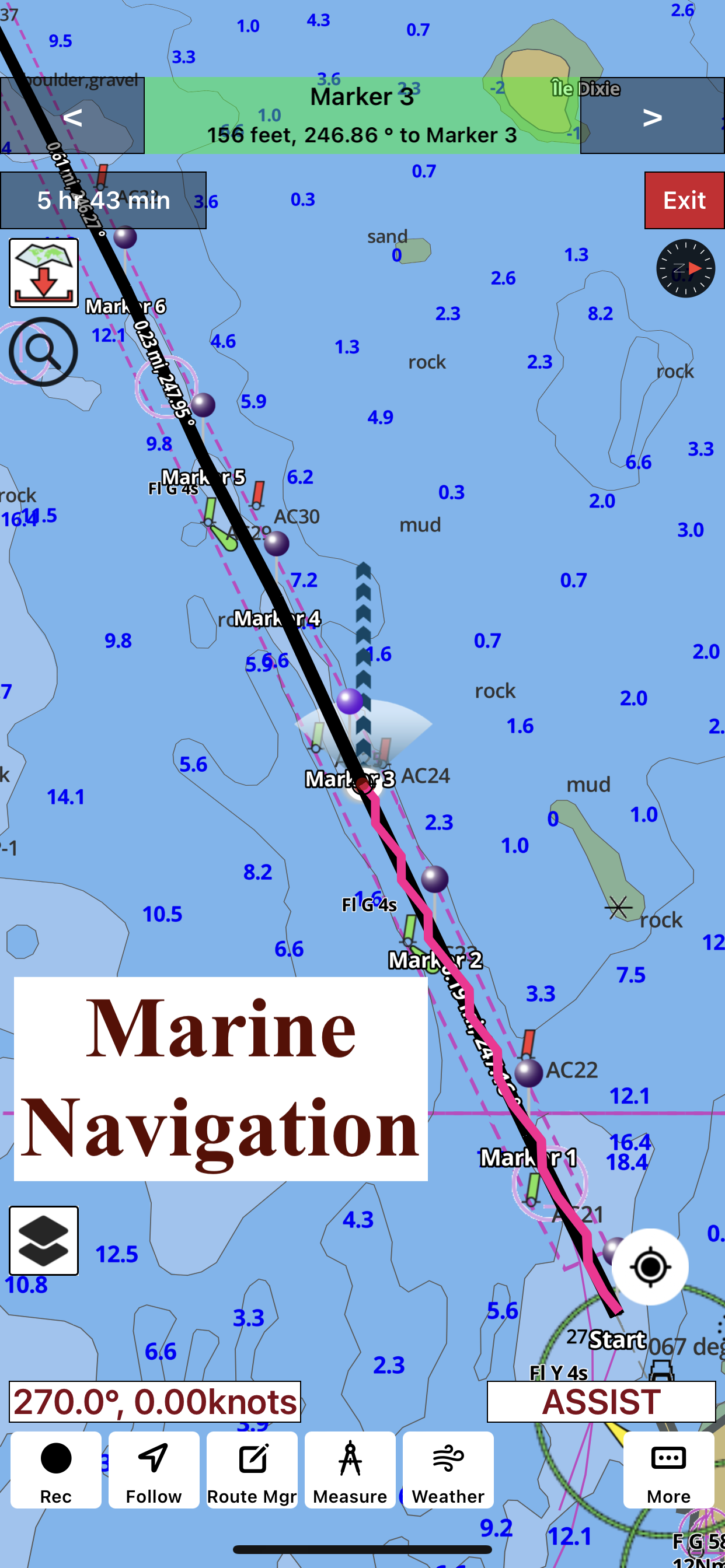
Navigates through windfarms

qazxswerfv on

Netherlands

Autoroute from Roompot to Ramsgate goes straight through the windfarms. Which is prohibited on that area of the North Sea.

Mooie app

Qtjuh on

Netherlands

Fijn in het gebruik 👍

Does not Work on Lake Garda

Bernie Willems on

Netherlands

I bought the Europe inland rivers & lakes map, but Lake Garda does not even appear on the map, let alone the details I am looking for. I cancelled the purchase immediately.

Not accurate tracking and poor update process

moto340 on

United States

Many times the tracking feature shows me in the channel just to have me actually 80 yards away hitting a sand bar. Also when lost all maps when renewing and the process to try to get them back is terrible. Find another app.

Great customer service

clshf on

United States

Immediately, Customers service reached out when I could not figure out how to share my route.

GPS glitches

Natewyo on

United States

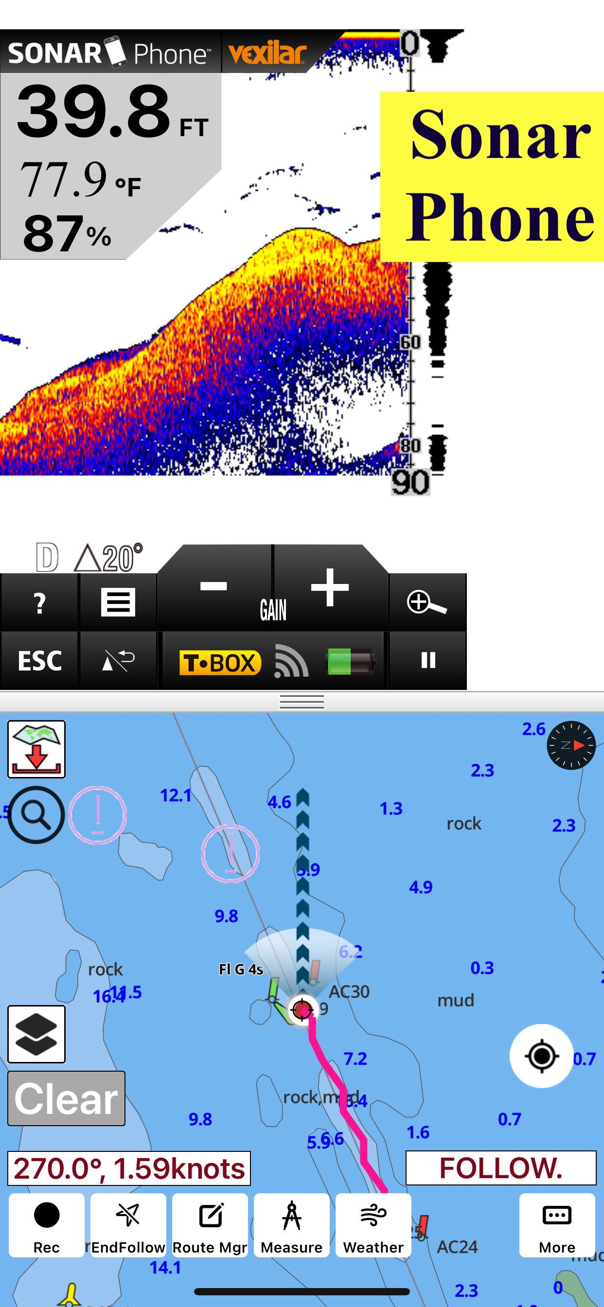
I like the app and the data is better than some others, but I have to continually click to get it to show my current position and often it’s way off and I have to wait. I had this app on my old phone and wasn’t having this issue.

Disappointed

Missing bodies of water on

United States

Would of been 4 starts but missing one major lake in Vermont. Shows all others except for what looks like a big blank square around lake memphremagog. Have told them about it with zero response.

Great For Fishing

NotMeRun on

United States

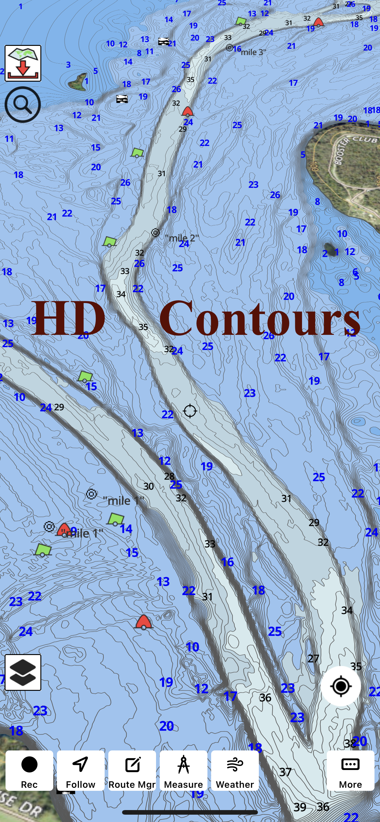
Good depth map, even on some lakes I didn’t know would even show up on here!

Can’t share

clshf on

United States

I have tried to send it to my email and it does not work. I also cannot move it from my iPad to my iPhone..

Jim

Halviin on

United States

Kinda confusing but’s super cool app

Store Rankings

Ranking History
Category Rankings
Chart
Category
Rank
Top Grossing
15
Top Grossing
21
Top Grossing
25
Top Grossing
30
Top Grossing
42

Keywords

I-Boating Competitors

I-Boating Installs

Last 30 days

I-Boating Revenue

Last 30 days

I-Boating Revenue and Downloads

Gain valuable insights into I-Boating performance with our analytics.
Sign up now to access downloads, revenue, and more.
This page includes copyrighted content from third parties, shared solely for commentary and research in accordance with fair use under applicable copyright laws. All trademarks, including product, service, and company names or logos, remain the property of their respective owners. Their use here falls under nominative fair use as outlined by trademark laws and does not suggest any affiliation with or endorsement by the trademark holders.