Diserpionting
I paid for this app but end up using free one that are better.


Yes, I-Boating is free to download, however it contains in-app purchases or subscription offerings.
🤔 The I-Boating app's quality is mixed. Some users are satisfied, while others report issues. Consider reading individual reviews for more context.
I-Boating has several in-app purchases/subscriptions, the average in-app price is 41.99 $.
To get estimated revenue of I-Boating app and other AppStore insights you can sign up to AppTail Mobile Analytics Platform.

4.5 out of 5
121 ratings in New Zealand
I paid for this app but end up using free one that are better.
The app is great but it would be nice to have a YouTube video on how to use it.
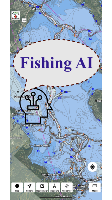
Having moved to a new part of the NZ coastline I am finding this App very useful for swatting up potentially useful fishing spots while at home. Once the boat is in the water I can then use the onboard chart plotter and fishfinder to get to these spots and test the theory with a line in the water.
You are making a great app thanks🎣🎣
Brillant used this app to sail up the coast from Wellington Nz to Tauranga Nz As good as any marine instruments on board
Was working a treat until I dropped my phone overboard
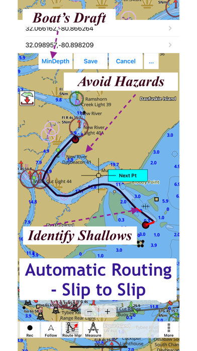
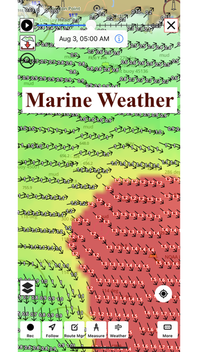
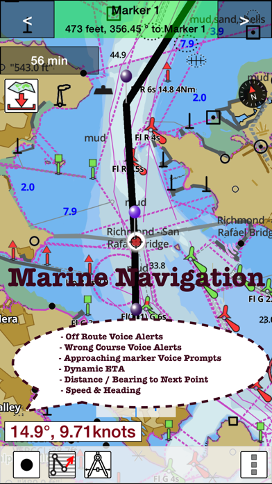
I was a little hesitant to try out automatic routing when their tech support told me about it. Now that I have tried it I have to admit it’s very useful. It’s able to identify the channel and route around islands and rocks. I was impressed that when I changed the draft, it was able to identify the channel like I would have done it manually. The route changes every time I change the draft. So that seem to be working. Not sure that I would rely entirely on fully automatic. But it’s definitely a good step in the right direction. Update: The latest update is fantastic. Now the only app in my Navi folder that has underwater 3d imagery. Thanks for improving wave forecasts for Chesapeake bay.
I installed this app to my Iphone15 plus. I always get GPS ERROR! At first, it works but then all of a sudden your location freezes. I tried restarting the app but still the same issue. I made sure location services is on on my phone. But still doesnt work. My garmin fishfinder is working so there’s no excuse that there’s no signal in my area. I asked for a refund but did not get a response.
Simple and accurate to use but you can’t restore maps that you bought. Better to use another app.
I paid the “one time payment” only to find out it’s an annual fee. Not worth it when you have to buy the maps every year!
|
Chart
|
Category
|
Rank
|
|---|---|---|
|
Top Grossing
|

|
11
|
|
Top Grossing
|

|
18
|
|
Top Grossing
|

|
19
|
|
Top Grossing
|

|
41
|
|
Top Grossing
|

|
53
|
| Name | Downloads (30d) | Monthly Revenue | Reviews | Ratings | Recent release | |
|---|---|---|---|---|---|---|

iNavX: Marine Navigation
Sailing & Boating Chartplotter
|
Unlock
|
Unlock
|
6
|
|
3 weeks ago | |

AIS Maps: Marine & Lake charts
Detailed nautical & topo maps
|
Unlock
|
Unlock
|
0
|
|
1 month ago | |

Navionics® Boating
Nautical and fishing charts
|
Unlock
|
Unlock
|
28
|
|
1 month ago | |

C-MAP: Boating
Charts, Planning & Navigation
|
Unlock
|
Unlock
|
25
|
|
1 month ago | |

Lowrance: app for anglers
Great fishing charts
|
Unlock
|
Unlock
|
5
|
1
|
1 month ago | |

Savvy Navvy: The Sailing App
Sailing and Fishing Charts
|
Unlock
|
Unlock
|
8
|
|
5 days ago | |

PRO CHARTS - Marine Navigation
|
Unlock
|
Unlock
|
0
|
|
1 year ago | |

ActiveCaptain®
Connect to Your GPS Plotter
|
Unlock
|
Unlock
|
25
|
|
1 month ago | |

Aqua Map Boating
Marine navigation and fishing
|
Unlock
|
Unlock
|
1
|
2
|
1 week ago | |

TZ iBoat – Marine Navigation
Boat GPS, Charts, AIS, Tides
|
Unlock
|
Unlock
|
5
|
1
|
2 months ago |

