iNavX: Marine Navigation
Sailing & Boating Chartplotter
#1 Keyword Rankings
Today
Top 10 Rankings
Today
Top 30 Rankings
Today
Top 100 Rankings
Today

Description

Marine navigation is made easy with iNavX - the world's #1 handheld Chartplotter. Access marine charts, maps, weather, AIS and more!

iNavX is the only app to give you complete worldwide chart coverage, from all your favorite charts providers, including the ALL NEW iNavX Professional+ Chart series! Fully enabled with one-touch access, iNavX gives users access to the broadest set of marine charts and maps from multiple providers including:

• iNavX Professional+ Charts
• Blue Latitude
• CHS
• Explorer
• Theyr Weather
• Waterway Guide
• … and more

How does iNavX take handheld marine navigation to the next level?
• Sailors - Plan sailing routes with waypoint and route management. Get proactive sail management with GRIB weather forecasts and then keep watch with AIS overlays and integration with your onboard systems. Plus, you can remember your great sailing locations by geotagging photos.
• Boaters - Stay up to date on boating conditions with forecasts that include currents, winds, and swells. Manage your boating equipment with nautical instrument integration and then save great boating routes to share with the track log.
• Anglers - Discover new fishing spots by scouting out holes and inlets. Locate the best fishing conditions by identifying cold fronts and save your best fishing spots with unlimited markers.

Advanced features - iNavX is the most feature rich app available for all sailing and boating needs at a great price:

Advanced Chart Plotter
• Plot your position in real-time using your device's built-in GPS
• Pan, zoom, and rotate charts (including course up)
• Print detailed charts to use in combination with the app

Advanced Navigation
• Create waypoints and plan routes to navigate between them
• Track log allows you to record your route
• Import/export data in KML (Google Earth) or GPX format

Advanced Instrumentation
• Supports NMEA data over TCP/IP (using Wifi)
• Integrates with external GPS, AIS receivers & transponders
• Connect nautical instruments: Depth, Speed, Wind, Engine, Batteries, etc.

Essential Toolkit
• GRIB weather forecast
• Tides/currents
• Anchor alarm
• AIS integration
• Port/navaid search

Download iNavX TODAY and automatically receive a complimentary copy of the official and up-to-date high-resolution NOAA RNC United States marine raster charts.

REVIEWS

“iNavX is the original and still one of the best navigation apps.”
– Practical Sailor

“The most full-featured navigation app around and viewed by many as the standard”
– Sail Magazine

"The #1 recommended marine charting app"
- iMarineApps

iNavX is Compatible with: Theyr Weather, Waterway Guide, AIS, Brookhouse, DigitalYacht, ShipModul, vYacht, Vesper Marine, NMEA 2000, Chetco and more.

NEW CHART STORE
Purchase all your favorite charts. Chart subscriptions vary by chart and provider from $9.99 to $199.99 annually, charged to your iTunes Account, which will automatically renew unless cancelled at least 24 hours before the end of the current period. Auto-renew can be turned off anytime by going to your Account Settings in iTunes after purchase. No cancellation of the current subscription is allowed during active subscription period.

NOTE: Continued use of GPS running in the background can dramatically decrease battery life.

MORE INFO
Website: http://inavx.com/
User's Guide: http://inavx.com/help/

Terms of Use: http://inavx.com/terms
Privacy Policy: http://inavx.com/privacy
Hide.. Show more..

In-Apps

AIS Live
£90.99
C-MAP World Chart
£51.99
Theyr Premium Weather
£49.99
Navionics+ U.K. (iPad)
£83.99
Navionics+ UK (iPhone)
£55.99
Navionics+ Mediterranean NW
£36.99
Navionics+ W&C Europe (iPad)
£92.99
Navionics+ Mediterranean (iPad
£83.99
Navionics+ W&C Europe (iPhone)
£46.99
iNavX Professional+ UK Ireland
£39.99

Screenshots

User Rating

4.52 out of 5

784 ratings in United Kingdom

5 star
573
4 star
136
3 star
23
2 star
13
1 star
39

Ratings History

Reviews

Terribly slow and outdated graphics

Kurtay Photography on

Expected much more, within 10 mnts I decided that this up needs way updating in terms of graphics and UI. Disappointed! Refund requested.
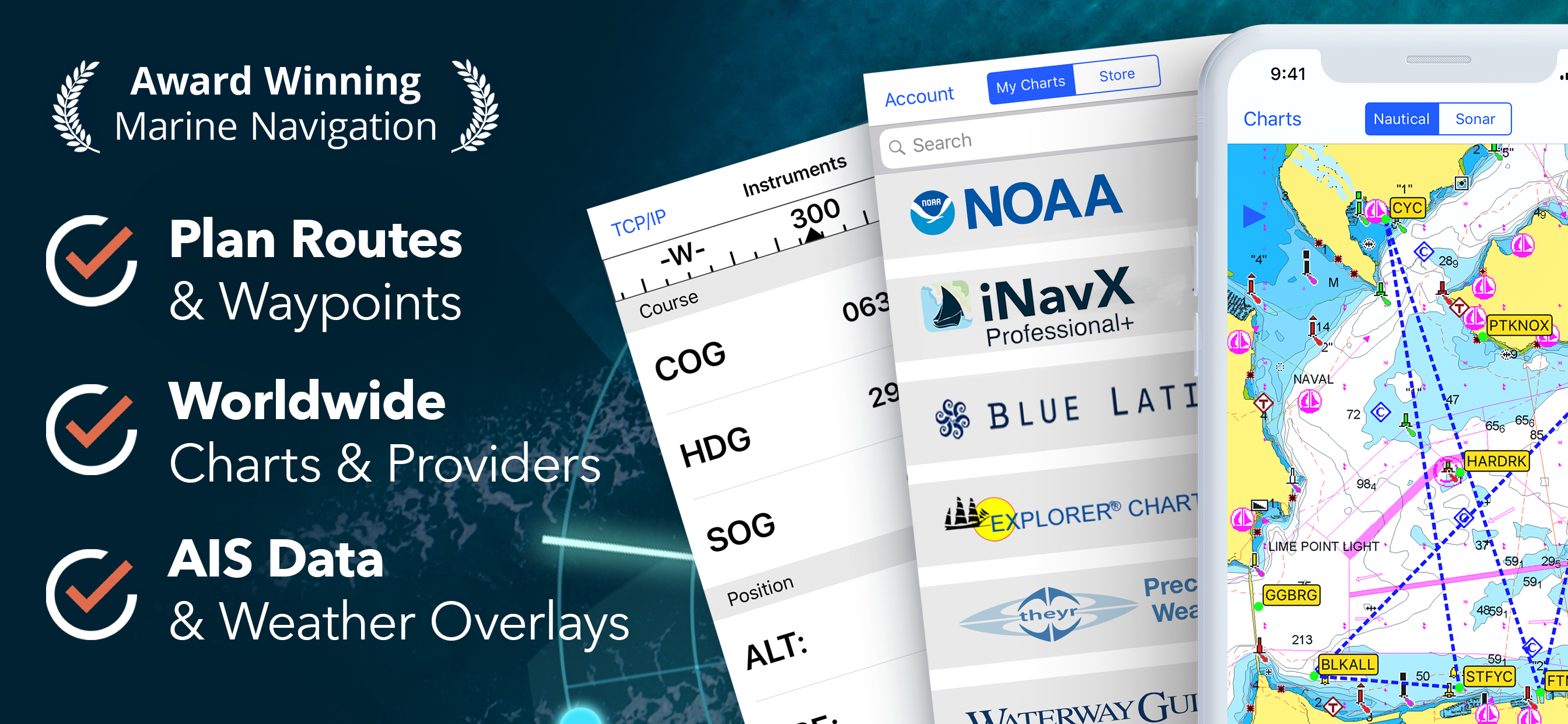
Useless for UK

Panitzin on

Doesn‘t offer UK charts

Very dissapointing now for UK users

Fuze53 on

I used to recommend InavX to friends as it was one of the few apps that actually send out Bearing to waypoint data so I can navigate with it. (Rather than just usingit as a map display). I had excellent Navionics UK charts, (apart from the lack of tidal data). Where are the UK (admiralty data!) charts?? Without these its not possible to recommend this app anymore! PLEASE clearly ADD UK CHARTS to the store .. !

Disaster - huge geographic gaps in chart offerings.

Jez W on

I have been using this for over 10 years. Tried others but not nearly as effective until now as it seems they have lost the ability to offer Navionics charts. There are massive gaps in chart availability and no ability to use it crossing an ocean. This needs to change VERY fast otherwise you will lose all your subscribers and super fast.

Useless unless your iPad had gps

doug-12345 on

iPads without sims don’t have gps. Without that this app is useless

Excellent App

Okehu on

This is the best navigation app and the support is second to none. I do agree that it could be improved by including tidal/current data but even without this it far exceeds apps like Boating. It’s on the water information and configurability is excellent (range rings, velocity vector, colour configuration etc etc) as is its route planning. The AIS information (CPA, speed etc) is clearly displayed. Altogether a very good app and I’ve tried a lot!

Not UK friendly

Sammie915 on

I wish I’d known this wasn’t suitable for the UK waters. I found it through a UK based sailing recommendation sight.

Time to change

Bill Aylward on

After 9 years and 25,000 nautical miles, I am sadly having to say goodbye to this app. Although there have been new features over that time, there has been no change to some of the really user unfriendly aspects of its basic use. For example entering a lat or lon by scrolling through 999 possible options for decimal minutes?! Over the last few years it has started to crash about 30% of the time when being restored from the background. So if you are entering a harbour, check the tide on another app, and come back to iNavX you often lose your position, and it then takes no less than 5 taps to restore your NMEA connection. This is annoying but also unsafe. I'm moving on to something different.

Great App but could be improved

Jon's Apple on

The “divider” function on the chart for measuring bearing and distance is behind other apps. Once you have double tapped the chart to bring up the divider function you can’t move or zoom in or out of the chart without the divider disappearing which is frustrating when trying to get a bearing between marks that are further apart then the area of the chart you are zoomed into. I have mentioned this to the developer for a number of years, but so far sadly this has never been improved.

Only see us charts 😂

Jethe0 on

Wasted money as store does not list usable charts

Store Rankings

Ranking History

Category Rankings

Chart
Category
Rank
Top Grossing
1
Top Grossing
13
Top Grossing
20
Top Grossing
22
Top Grossing
23

Keywords

Users may also like

Name
Navionics® Boating
Nautical and fishing charts
C-MAP: Boating
Charts, Planning & Navigation
i-Boating: Marine Charts & Gps
Lake Maps & Fishing Spots
Lowrance: app for anglers
Great fishing charts
savvy navvy: Boat Navigation
GPS Charts Tide Weather AIS
PRO CHARTS - Marine Navigation
ActiveCaptain®
Connect to Your GPS Plotter
Aqua Map Boating
Marine navigation and fishing
TZ iBoat – Marine Navigation
Boat GPS, Charts, AIS, Tides
Wavve Boating: Marine GPS Maps
Navigation, Sea Tides, Weather
Show More

Revenue and Downloads

Gain valuable insights into iNavX: Marine Navigation performance with our analytics. Sign up now to access downloads, revenue, and more.

App Info

Category
Navigation
Publisher
NavX Studios LLC
Languages
Spanish, German, French, English, Italian, Dutch, Swedish
Recent version
5.6.34 (1 day ago )
Released on
Feb 12, 2019 (5 years ago )
Last updated
6 days ago