OsmAnd Maps Travel & Navigate
Offline maps for travel
#1 Keyword Rankings
Today
Top 10 Rankings
Today
Top 30 Rankings
Today
Top 100 Rankings
Today

Description

OsmAnd is an offline world map application based on OpenStreetMap (OSM), which allows you to navigate taking into account the preferred roads and vehicle dimensions. Plan routes based on inclines and record GPX tracks without an internet connection.
OsmAnd is an open source app. We do not collect user data and you decide what data the app will have access to.

Main features:

Map view
• Choice of places to be displayed on the map: attractions, food, health and more;
• Search for places by address, name, coordinates, or category;
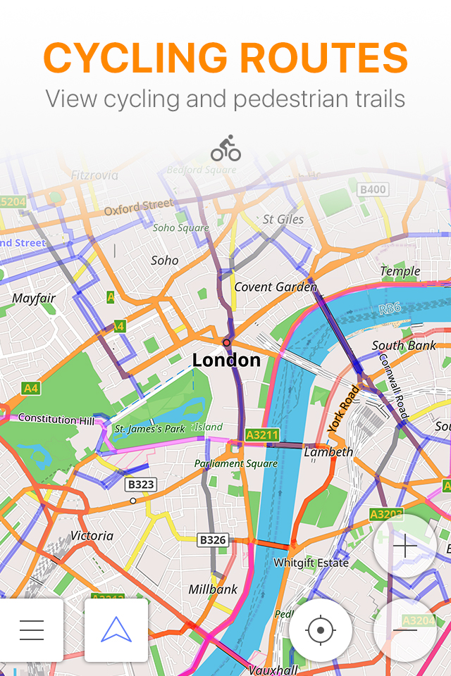
• Map styles for the convenience of different activities: touring view, nautical map, winter and ski, topographic, desert, off-road, and others;
• Shading relief and plug-in contour lines;
• Ability to overlay different sources of maps on top of each other;

GPS Navigation
• Plotting a route to a place without an Internet connection;
• Customizable navigation profiles for different vehicles: cars, motorcycles, bicycles, 4x4, pedestrians, boats, public transport, and more;
• Change the constructed route, taking into account the exclusion of certain roads or road surfaces;
• Customizable information widgets about the route: distance, speed, remaining travel time, distance to turn, and more;

Route Planning and Recording
• Plotting a route point by point using one or multiple navigation profiles;
• Route recording using GPX tracks;
• Manage GPX tracks: displaying your own or imported GPX tracks on the map, navigating through them;
• Visual data about the route - descents/ascents, distances;
• Ability to share GPX track in OpenStreetMap;

Creation of points with different functionality
• Favourites;
• Markers;

OpenStreetMap
• Making edits to OSM;
• Updating maps with a frequency of up to one hour;

Additional features
• Compass and radius ruler;
• Mapillary interface;
• Night theme;
• Large community of users around the world, documentation, and support;


Paid features:


OsmAnd Maps+ (in-app or subscription):
• Unlimited map downloads;
• Topo data (Contour lines and Terrain);
• Nautical depths;
• Offline Wikipedia;
• Apple CarPlay support;

OsmAnd Pro (subscription):
• All Maps+ features;
• Weather forecast on the map online/offline;
• OsmAnd Cloud (backup and restore);
• Customize Route line;
• Hourly map updates.
Hide.. Show more..

In-Apps

Europe
17,99 €
Wikipedia
0,00 €
OsmAnd Maps+
19,99 €
Contour lines
9,99 €
All World Maps
22,99 €
OsmAnd Pro annual
29,99 €
OsmAnd Pro monthly
2,99 €
OsmAnd Maps+ annual
9,99 €
OsmAnd: All inclusive Annual
10,49 €
OsmAnd: All Inclusive Monthly
1,99 €

Screenshots

User Rating

4.29 out of 5

65 ratings in Finland

5 star
43
4 star
7
3 star
10
2 star
1
1 star
4

Ratings History

Reviews

Perfect for my needs

suniala on

I use OSM maps quite a lot because of their high level of detail. OsmAnd is essential for mobile use because OSM official web site is not very user friendly. I have used OsmAnd mostly for cycling, walking and running but occasionally also for driving. Routing is ok but not as user friendly as google maps. The UI works well for me but it is quite rich in features and I would maybe not recommend it for your average user.

Constant advertizing

Ipe54422 on

Even though I HAVE ALREADY BOUGHT ALL THAT THERE IS TO BUY the app still keeps popping up banners mid navigation trying to push purchases that I already have. This is just the stupidest coding I have seen in a long time. It should not be difficult to stop pushing to customers THAT ALREADY BOUGHT THE SERVICES! Edit: As suggested I have disabled promotions but it doesnt help.

Great for power users

tojurick on

It’s pretty great for using OpenStreetMap as a map service. Downside is that for getting routes for driving and public transport, calculating and getting the routes can be painfully slow or sometimes doesn’t load them at all, failing silently. Also finding local businesses is slow and user will need patience to find matches. CarPlay integration doesn’t always work or gets stuck when calculating the route on 99% status but it has been improving lately. Learning curve also is a thing: UI is intimidating with lots of nested configuration options and in my opinion when compared to mainstream rivals, namely Apple and Google Maps, OsmAnd would need a bit of modernizing and refreshing looks, as well as rethinking the menu navigation structures to find balance in simple use and power use. Customization takes time and needs adapting to different situations. Cannot recommend for layman use but for power users who like to personalize and customize their map uses, this is The Map Application to use.

Okay way to use openstreetmap

Jimboolio on

This is the best app to use openstreetmap (later OSM) as daily driver I have found. When compared to other OSM apps, this has working navigation, which is rare. Also OsmAnd has very polished map theme and the UI looks great. The reason why just three stars is that the user experience is lacking. There is not enough visual clues to quickly find what you are looking for. For example when first time opening the app, you have to download a map, even if you are planning to use real time map over internet. If you skip the download, you’ll see just blank white screen with no tips to fix it. When you study the interface and menus it works perfectly fine. I have not experienced any bugs or unreasonable paywalls. The issue here is just that it takes too much time to figure out which of the million buttons should I press. For example the POI data is there, but there’s everything, so it takes time to find the correct info between numeric coordinates and obviously unnecessary data. But this is still the best and most feature rich OSM app there is if you need osm poi data, otherwise Guru Maps has better base map.

Store Rankings

Ranking History

Category Rankings

Chart
Category
Rank
Top Grossing
5
Top Grossing
5
Top Grossing
8
Top Grossing
8
Top Grossing
10

Keywords

Users may also like

Name
Guru Maps — Kartat Offline
GPS Navigaattori, Kompassi
Navitel Navigator
GPS & Offline karttoja
Topo GPS - Maastokartat
Tarkin maastokartta ulkoiluun
Open GPX Tracker
No ads, no in-app purchases
Magic Earth Navigation & Maps
Offline Maps, Traffic
Scenic Motorcycle Navigation
Plan, Ride & Track moto Routes
calimoto Motorcycle Navigation
Top motorcycle routes & GPS
GPX viewer
The paper map reinvented
Organic Maps Offline Hike Bike
Trails, Travel, GPS Navigation
دليلة البر
Show More

Revenue and Downloads

Gain valuable insights into OsmAnd Maps Travel & Navigate performance with our analytics. Sign up now to access downloads, revenue, and more.

App Info

Category
Travel
Publisher
OsmAND B.V.
Languages
Assamese, tz, ck, Arabic, Sanskrit, hs, Breton, Esperanto, Danish, Azerbaijani, Armenian, Russian, Bulgarian, Croatian, Icelandic, Galician, Catalan, Hungarian, Hindi, Afrikaans, Georgian, Indonesian, Interlingua, Turkish, Tamil, Serbian, Occitan, Welsh, Bengali, Norwegian Bokmål, Basque, Hebrew (modern), Greek (modern), Kurdish, Kannada, German, Estonian, Latvian, Norwegian Nynorsk, Czech, Slovak, Slovene, Panjabi, Japanese, French, Bosnian, Persian, Polish, Telugu, Ukrainian, Urdu, Uzbek, Swedish, Belarusian, Lithuanian, Chinese, Burmese, Romanian, Italian, Finnish, English, Dutch, Portuguese, Mongolian, Sardinian, Spanish, Vietnamese, Aragonese, Albanian, Tatar, Korean, Macedonian, Marathi, Malayalam
Recent version
4.7.6 (1 month ago )
Released on
Apr 21, 2015 (9 years ago )
Last updated
2 days ago